Skip to main content
Main navigation
News
Events
Exhibitions
1846: Inventing Americana at the John Carter Brown Library
Simon Bolivar, The Libertador
Upcoming Events
Past Events
Research
Using the Library
Instructional Support Guide
Requesting Materials
Resources and Publications
Image Permissions & Requests
Catalog
Fellowships
Opportunities
Fellows Directory
Life in Residence
Remote Fellowship Program
Visit
Visiting the JCB
Requesting Materials in the Reading Room
Collection Highlights
Places
Languages
Themes
Periods
Genres
About
Mission
Initiatives
History
People
Leadership
Staff Directory
Toggle Search
Search
Search
Search Menu
Online Catalogue (BruKnow)
Language
English
Share
Facebook
Twitter
Email
Featured Items
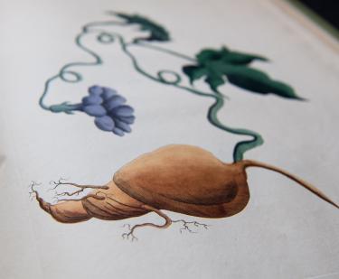
A collection of exotics, from the Island of Antigua
Lydia Byam
1797
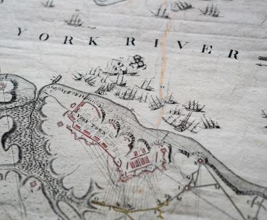
To his Excellency Gen Washington, Commander in Chief of the Armies of the United States of America. This Plan of the investment of York and Gloucester has been surveyed…
Sebastian Blauman
1782
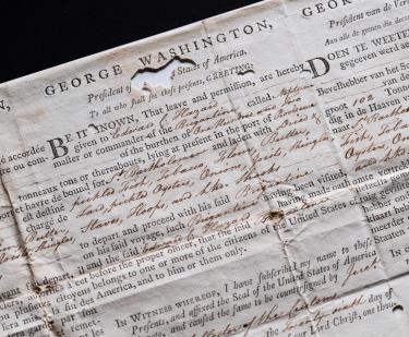
Sea letter, Brigantine Neptune, July 26, 1793
1793
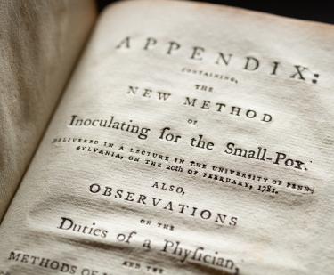
Medical Inquiries and Observations
Benjamin Rush
1789
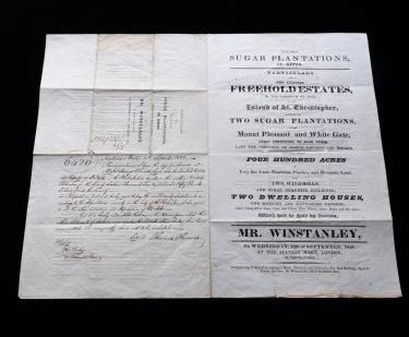
Particulars of two valuable sugar plantations, St. Kitts . . .
Brettell, Rupert Street, Haymarket
1828
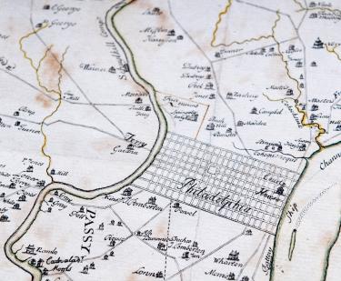
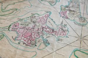
A map of Philadelphia and parts adjacent..
Nicholas Scull
1752
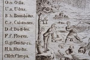
The Secretary's guide, or, Young mans companion
William Bradford
1728
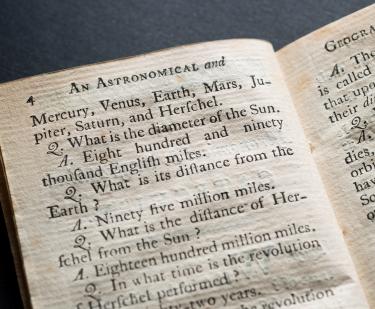
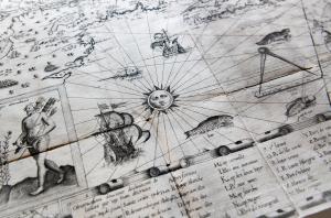
An astronomical and geographical catechism. For the use of children.
Caleb Bingham
1795
Show More
See Also
Pedagogical Materials
North America