Skip to main content
Main navigation
News
Events
Exhibitions
1846: Inventing Americana at the John Carter Brown Library
Simon Bolivar, The Libertador
Upcoming Events
Past Events
Research
Using the Library
Instructional Support Guide
Requesting Materials
Resources and Publications
Image Permissions & Requests
Catalog
Fellowships
Opportunities
Fellows Directory
Life in Residence
Remote Fellowship Program
Visit
Visiting the JCB
Requesting Materials in the Reading Room
Collection Highlights
Places
Languages
Themes
Periods
Genres
About
Mission
Initiatives
History
People
Leadership
Staff Directory
Toggle Search
Search
Search
Search Menu
Online Catalogue (BruKnow)
Place
World
Share
Facebook
Twitter
Email
Featured Items
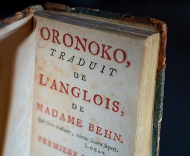
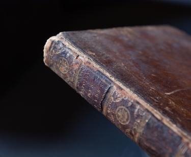
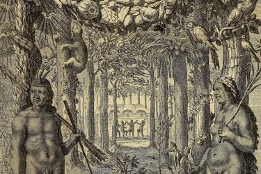
Oronoko
Aphra Behn
1745
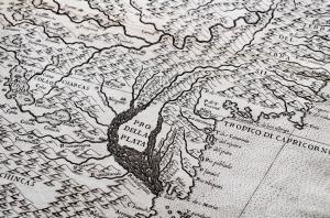
Atlas de toutes les Parties Connues du Globe Terrestre
Guillaume Thomas Francois Raynal
circa 1780
Atlas des Enfans, ou nouvelle methode pour apprendre la geographie,...
1784
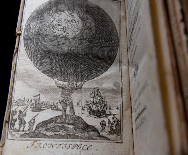
Ymago mundi
Pierre d'Ailly
circa 1483
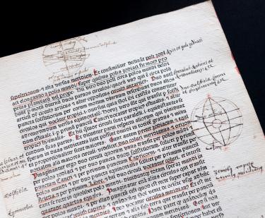
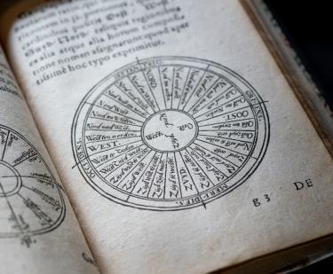
Breves in sphaeram meditatiunculae
Bartholomaeus Mercator
1563
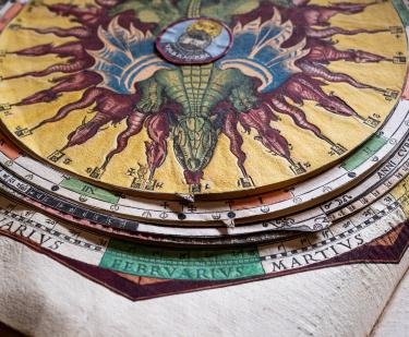
Astronomicum cæsareum
Peter Apian
1540
Principall navigations, voiages, and discoveries of the English nation
Edward Wright
1598
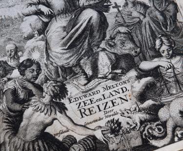
Engelsch edelmans, zeldzaame en gedenkwaardige zee- en land-reizen
Eduward Meltons
1681
Show More
Related
Global Americana: The Wider Worlds of a Singular Collection
Fall 2017
28 Curators for a Single Exhibition? Welcome to Global Americana!
August 10, 2017
See Also
Italian
Book