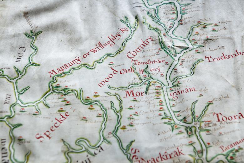
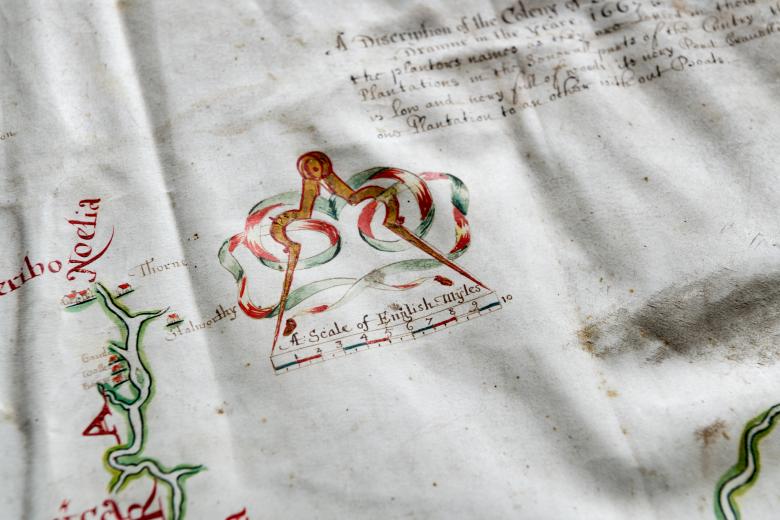
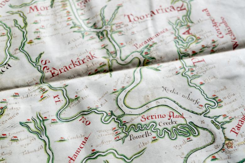
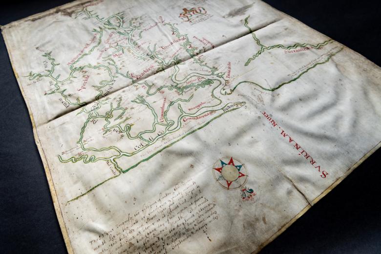
A discription of the coleny of Surranam in Guiana drawne in the year 1667
In 1667, the burgeoning English colony of Willoughby Land on the Surinam River was seized by a Dutch naval squadron, and was then formally granted to the Netherlands under the treaty that concluded the Second Anglo-Dutch War. This 1667 coloured manuscript map stands as the only cartographic evidence of that early English colony which predated the establishment of the Dutch colony of Surinam. With its 175 named plantations and its mention of Jewish settlers (no doubt from Brazil), it is one of the first maps that attests to active colonizing activity along the Wild Coast. It was drawn up by an anonymous English cartographer, and it inspired both a Dutch manuscript copy, drawn up in the same year, and the first Dutch printed map of the colony, engraved in 1671, both of which are contained in the JCB’s Blathwayt Atlas.
