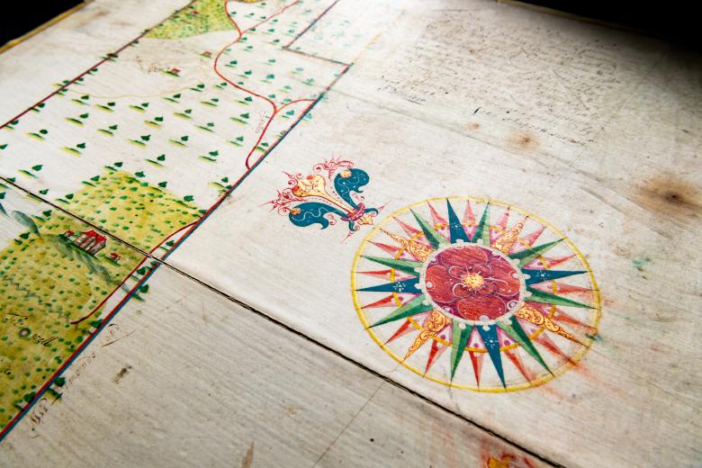
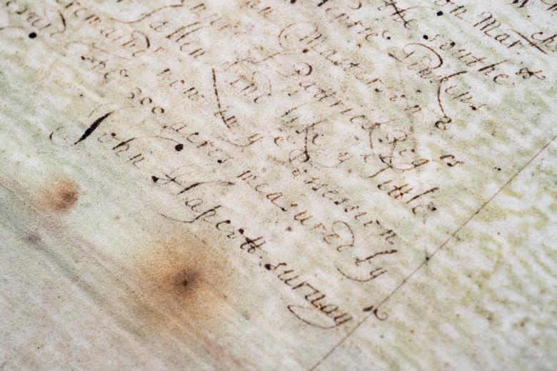
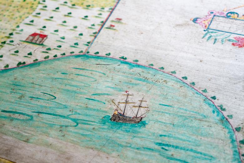
[Estate plan of 300 acres of land near Holetown, Barbados]
This entirely unique wooden, hinged manuscript estate plan is the earliest cartographic representation of the English colony of Barbados, and it figures amongst the earliest surviving primary sources of the colony’s history. The plan was based on a 1646 surveyed undertaken by John Hapcott for Captain Middleton, a planter in Barbados, and it represents the Fort Plantation, which had been established in 1627 within a few years of the colony’s founding. The estate plan shows the consolidation of several smaller landholdings into one large one, probably in order to aid Middleton in securing a bank loan needed for sugar production. As such, the plan captures the dynamic process through which sugar grew to dominate the English colony’s export crop production in these decades, drawn in the cartographic style of the seventeenth-century Thames School.
