The famouse West Indian voyadge made by the Englishe fleete of 23 shippes and Barkes wherin weare gotten the townes of St. Iago, Sto. Domingo, Cartagena and St. Augustines
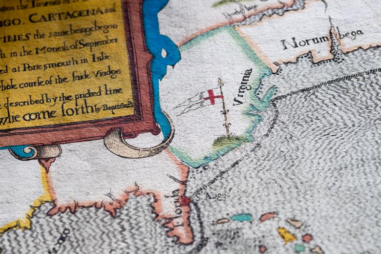
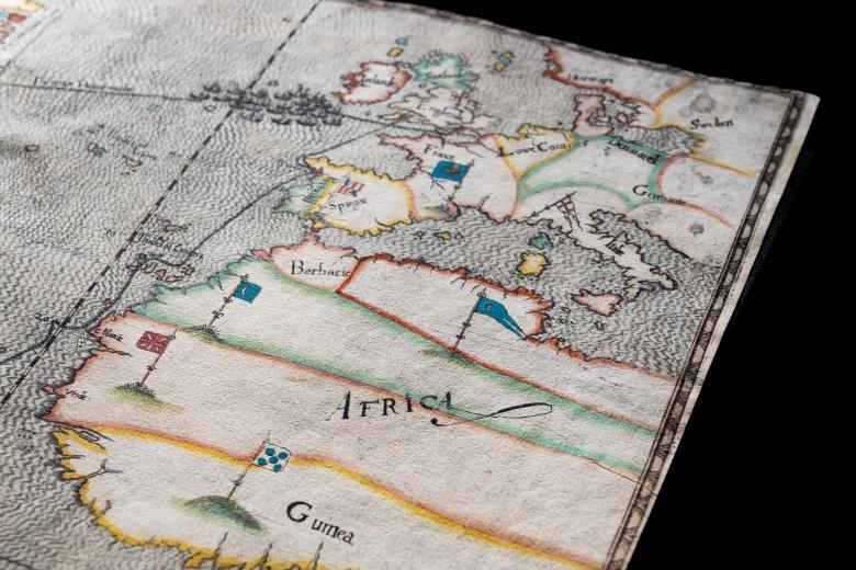
The JCB has a tremendous collection of primary graphic, cartographic and textual materials related to Sir Francis Drake, amongst which this hand-coloured 1589 map stands out. Drawn by Italian-born artist Baptista Boazio, and illustrating Drake’s 1585-86 round trip from England to the circum-Caribbean, this voyage was meant to undertake a series of raids that Drake’s 23-vessel fleet undertook against Spanish strongholds in the Americas and off the coast of Africa. Boazio may have participated in the Drake expedition himself, much as artist John White accompanied the 1585 Roanoke expedition. Drawn to accompany Walter Bigges’ 1588 account of Drake’s expedition (also in the JCB), this map depicts Drake’s transatlantic route, marking the fleet’s arrival at territories marked with Spanish flags but has rhetorical aims as well: it minimizes Spanish control in the Greater and Lesser Antilles via the total absence of Spanish flags there, and appears to claim that North America, marked only by the English standard bearing the Saint George Cross, is heretofore open to English colonization.
