Skip to main content
Main navigation
News
Events
Exhibitions
1846: Inventing Americana at the John Carter Brown Library
Simon Bolivar, The Libertador
Upcoming Events
Past Events
Research
Using the Library
Instructional Support Guide
Requesting Materials
Resources and Publications
Image Permissions & Requests
Catalog
Fellowships
Opportunities
Fellows Directory
Life in Residence
Remote Fellowship Program
Visit
Visiting the JCB
Requesting Materials in the Reading Room
Collection Highlights
Places
Languages
Themes
Periods
Genres
About
Mission
Initiatives
History
People
Leadership
Staff Directory
Toggle Search
Search
Search
Search Menu
Online Catalogue (BruKnow)
Genre
Map
Share
Facebook
Twitter
Email
Featured Items
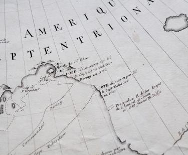
Nouvelle Carte des Descouvertes Faites par des vaisseaux russes aux côtes inconnues...
1754
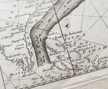
The Gulf Stream flowing northwards…
Benjamin Franklin
1778
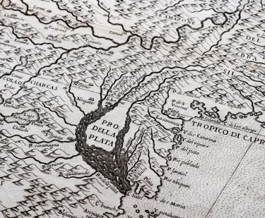
Descrittione di tutto il Peru
Paulo di Forlani
circa 1564-1572
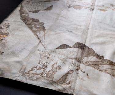
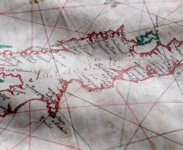
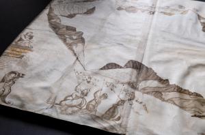
Mountserrat island, ms. 1673
William Blathwayt
1673
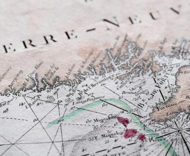
Carte reduite des bancs et de l'Ile de Terre-Neuve avec les cotes du Golf de St. Laurent et de l'Acadie
[Depot de la Marine]
1784
Descripcion de las costas de tierra firme de la America Septentrional
Antonio de Matos
1740
An actual survey of the River Orinoco from the great mouth up to the City of Angostura
1803
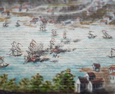
Prise de l'isle de la Grenade...
Roger fils
1782
Show More
See Also
Environmental Studies
Ethnography