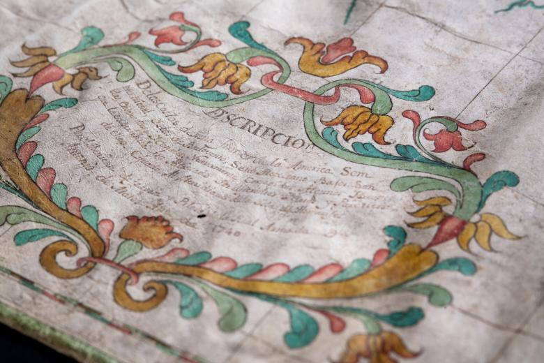
Descripcion de las costas de tierra firme de la America Septentrional
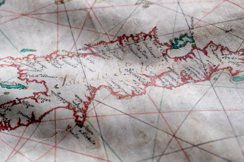
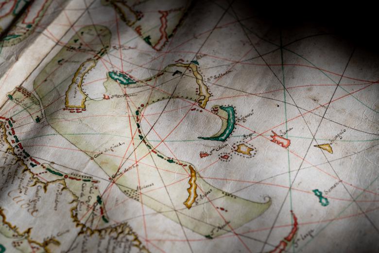
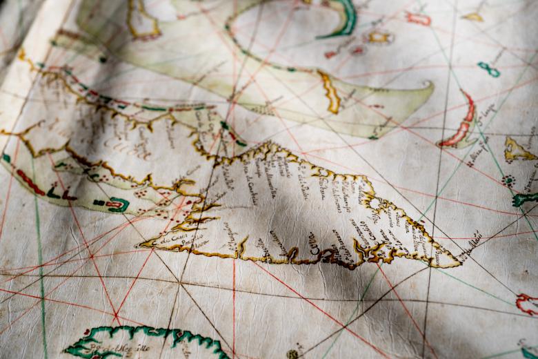
This manuscript naval chart on vellum was a naval tool drawn up by Antonio de Matos, a lieutenant in the Spanish Navy, to be used to better Spain’s position in the War of Austrian Succession that was pitting Spain again Britain in the Caribbean during the 1740s. It is an exceptional example of the deployment of both archaic and contemporary nautical knowledge and technology in the same chart: it contains characteristic elements of late medieval portolan charts (with the use of color, the shape of the parchment and the placement of terrestrial toponyms) but it was drawn on the Mercator projection, which was unusually advanced for the time. Compared to English naval charts of the same period, which were drawn on the old plane projection, it is far more accurate, in addition containing more detail regarding coastlines, place names and geographic features.


