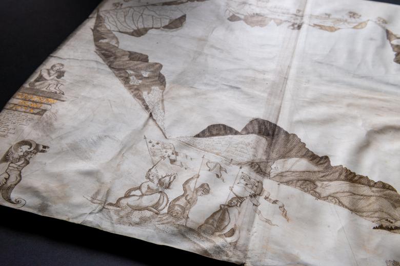
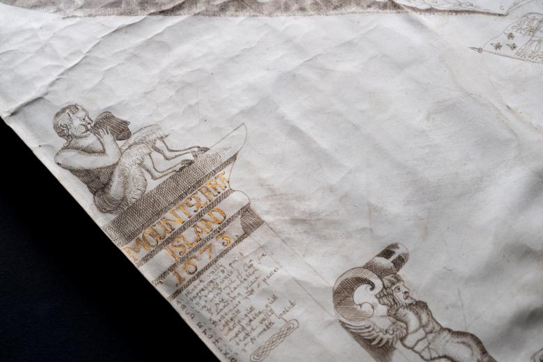
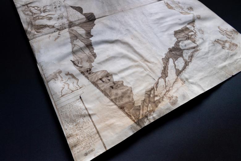
Mountserrat island, ms. 1673
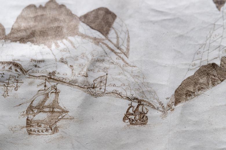
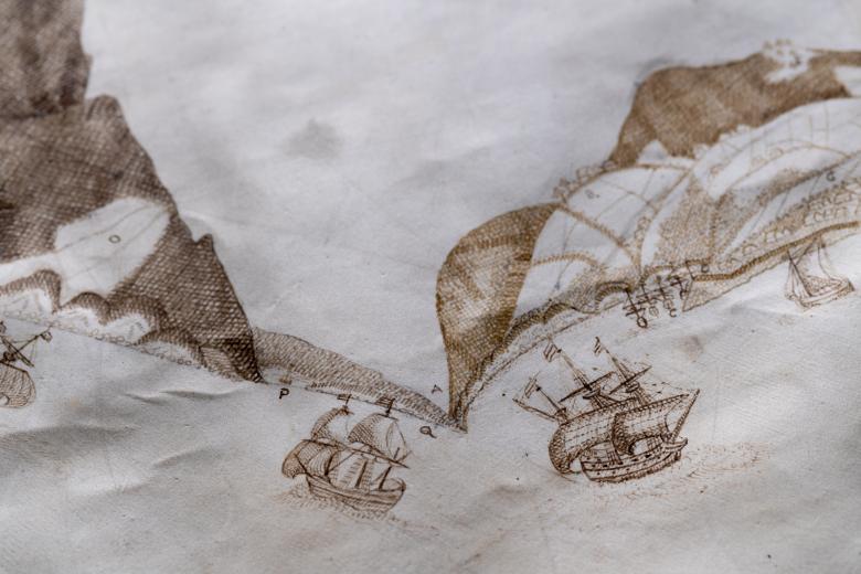
This 1673 map was one of the first William Blathwayt added to the atlas he compiled for the Committee of the Lords of Trade and Plantations, when he began his post as clerk to the Committee’s Secretary in 1675. The map is visually highly unconventional, representing the coastlines of Montserrat as a series of coastal views, each joined to the next to approximate the shape of the island. These views show how the land looked from a precise point at sea. The map contains many names of places and people, and depicts the locations of estates, which is of particular value because no other separate map of Montserrat was issued in the seventeenth or eighteenth centuries. It also contains images of white-skinned human figures carrying sugar cane, a reference to the earliest Irish plantation workers whose arrival predated the large-scale arrival of African captives as enslaved plantation labor.
