Bodies of Water/Bodies at Work
The early modern period (1500-1800) was an age of maritime empire, associated with ships plying oceans and fierce struggles for control of the world’s sea lanes. But seas, and bodies of water more generally, served multiple purposes beyond their transformation into highways of exchange. They functioned as waterways that transported people, ideas, bacteria, and commodities both locally and across the globe. They served as a tool for thinking about the changing nature of the world. And they allowed people to think about the composition of the human body, its capacity for work, and the types of relationships that people forged with one another on and off land – on maps, in treatises, in private letters and in intricate projects of colonial construction.
Long before French writers surveyed the Mississippi, the Aztec capital of Tenochtitlan – seat of one of the greatest American empires –flourished in a lacustrine matrix expertly elaborated by the Mexica. This exhibition explores the many ways in which water - from the five interconnected lakes of what would become Mexico City to the five Great Lakes of New France - touched people’s lives, even those who never set foot on a ship or visited a port town. On the prow of a ship or as a conduit for knowledge about the globe, water shaped encounters both real and imagined, in the early modern Americas and far beyond.
Related Events
-
JCB Reads: Casey Schmitt's The Predatory Sea. Human Trafficking and Captivity in the Seventeenth-Century Caribbean
December 2025
-
JCB Reads: Katherine Johnston's The Nature of Slavery: Environment and Plantation Labor in the Anglo-Atlantic World
November 2025
-
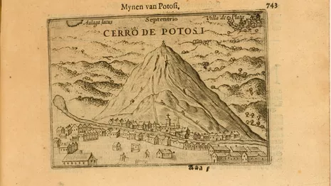
Divided Nations: Documenting Civil War in 1620s Potosí
October 2024


