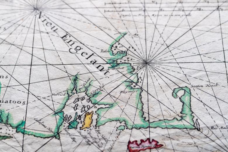
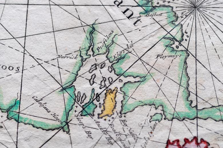
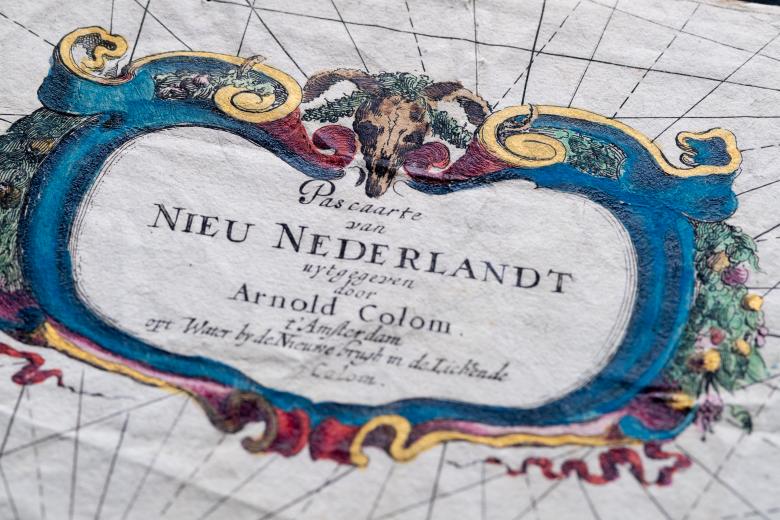
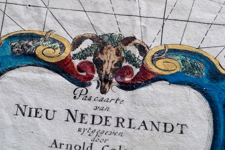
Pas caarte van Nieu Nederlandt
Arnold Colom (1623/4--1668) was a bookseller from Amsterdam specializing in chartbooks. His most important work was his Sea-atlas published between 1654-1658, following the pioneering work of Jansonius. Chart number 13 of this atlas is the "Pas caarte van Nieu Nederlandt" (chart of New Netherland), labeled "the first sea chart of the New Netherlands". It is one of the two earliest sea charts showing the significant improvements resulting from the Dutch exploration and occupation of the region. Furthermore, this chart is important because it is probably the earliest appearance of Providence (spelled Profedens) on a map. The copy in the JCB is the second state of the map (Burden), without the year of publication but with the number 13 in the bottom right corner.
