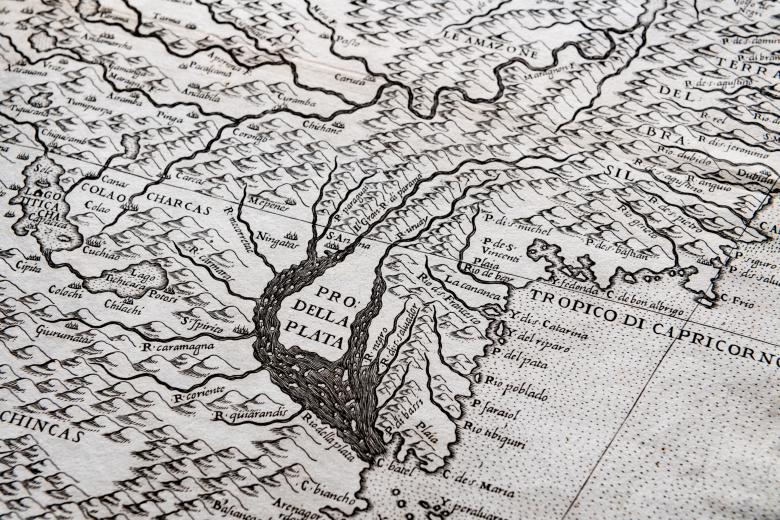
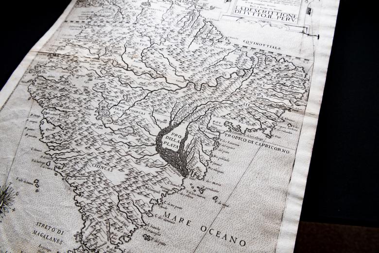
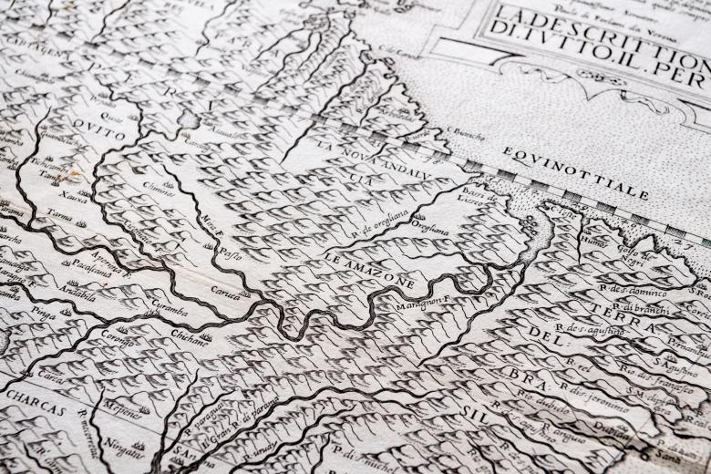
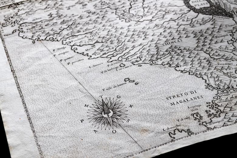
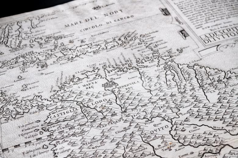
Descrittione di tutto il Peru
Paolo Forlani dominated Venetian printed map production – exceptionally as map printer, publisher and map engraver -- during the 1560s, when Venice was the powerhouse of map production in Europe, in the period before the rise of Antwerp and Amsterdam. This map of South America that he produced ca. 1564 is the first large-scale printed depiction of the continent, and the first to contain detail of the interior, including the course of the Amazon and the Rio de la Plata, drawing geographical information from earlier maps by Giacomo Gastaldi (the other pre-eminent Venetian mapmaker of the midcentury). The unusual shape of the continent is due to the deliberate application of an internal system of projection created by Forlani, that results in the expansion of inner land mass, revealing the first moments of the pivotal movement by Europeans away from coastlines towards the riches of the South American interior.


