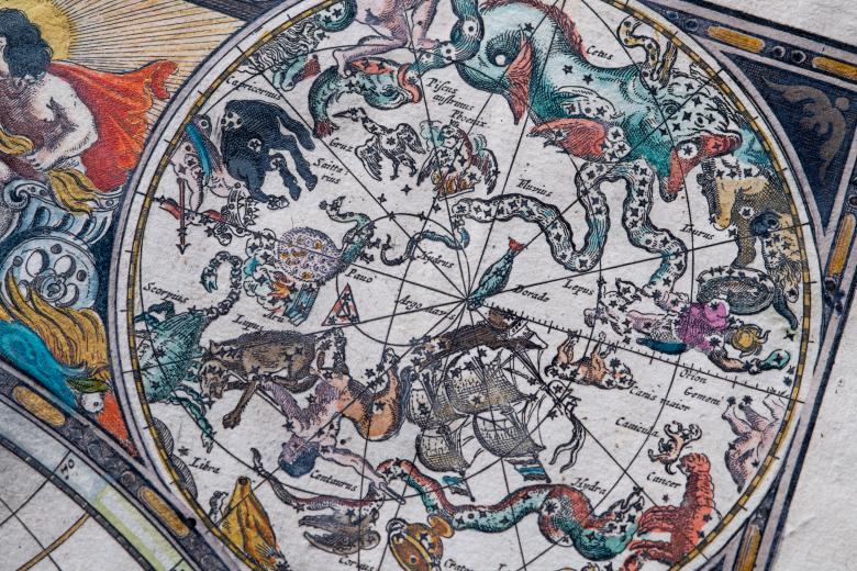
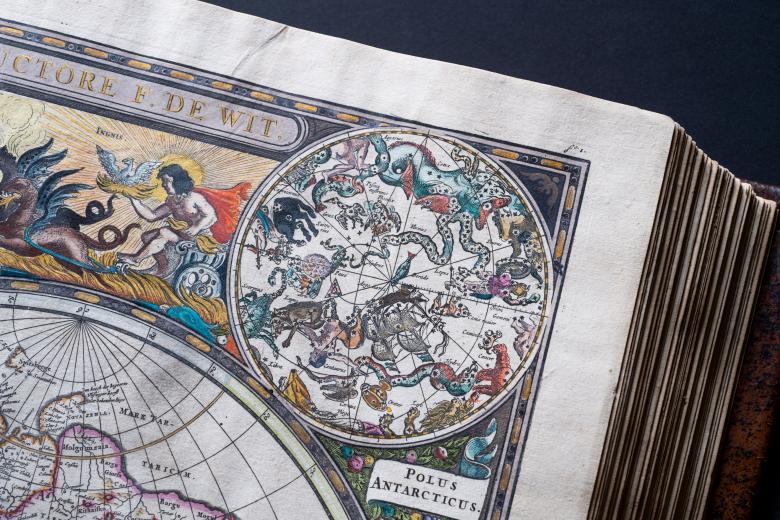
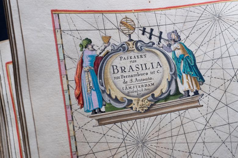
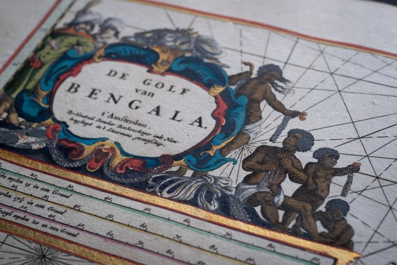
The sea-atlas or the watter-world
In the sixteenth century, the Dutch were the undisputed market leader in the production of commercial sea-charts and atlases. That advantage continued to grow from the middle of the seventeenth century, when several Amsterdam publishing houses began successfully to market the genre to a wider audience. Among these new arrivals to the European market, the sea-atlases of the Amsterdam bookseller Hendrik Doncker were known to be the most accurate, and were available to buyers in Dutch, English, Spanish and French – in sets containing 20 to 100 maps and on different qualities of paper. Weighing in at a middling size of 50 maps, the JCB copy – somewhat peculiarly – contains an English title page with a Dutch introduction. Its stunning colors and crisp printing make this copy a particular jewel in the Library’s atlas collection, even though Doncker’s Sea-atlas was published frequently from 1659 to 1712 and continued to be expanded and improved over time.


