An actual survey of the River Orinoco from the great mouth up to the City of Angostura
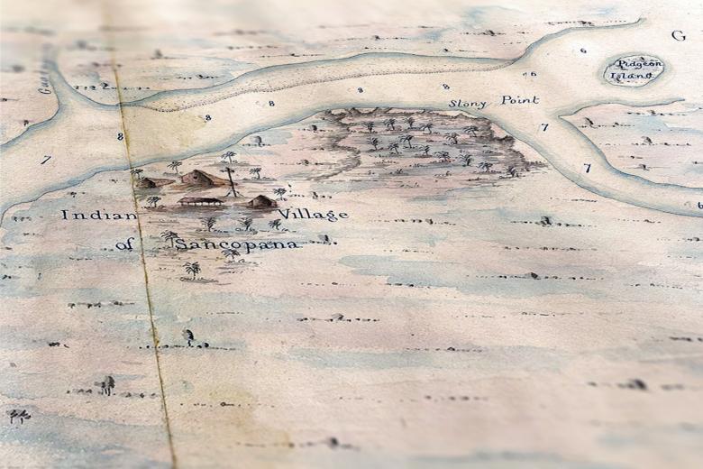
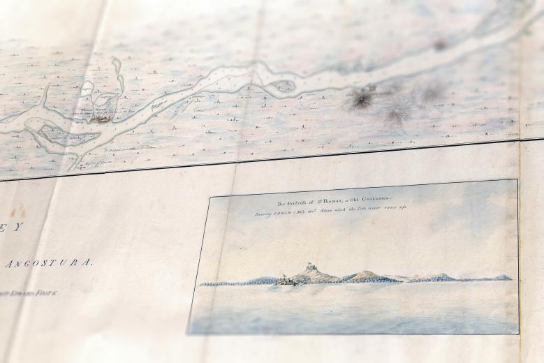
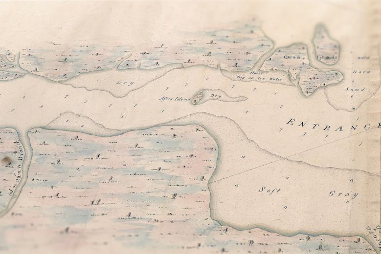
This remarkable manuscript chart of the lower Orinoco River basin is over 13 feet long, depicting the winding course of the river downriver from the city of Angostura to the Atlantic Ocean. It contains eight beautiful inset profile views of the tropical landscape surrounding the river and British naval Lieutenant Alexander Briarly who drew the map gives careful directions on avoiding seasonally variable sand shoals at the river’s mouth. More unusually, the chart also highlights the presence of indigenous settlements and farms along the river’s course. Briarly was based in Port of Spain (Trinidad and Tobago) in the first years of the nineteenth century, suggesting that his presence on the Orinoco, which was Spanish territory, was, at least in part, to chase smugglers.


