Carte geographique de la Nouvelle France
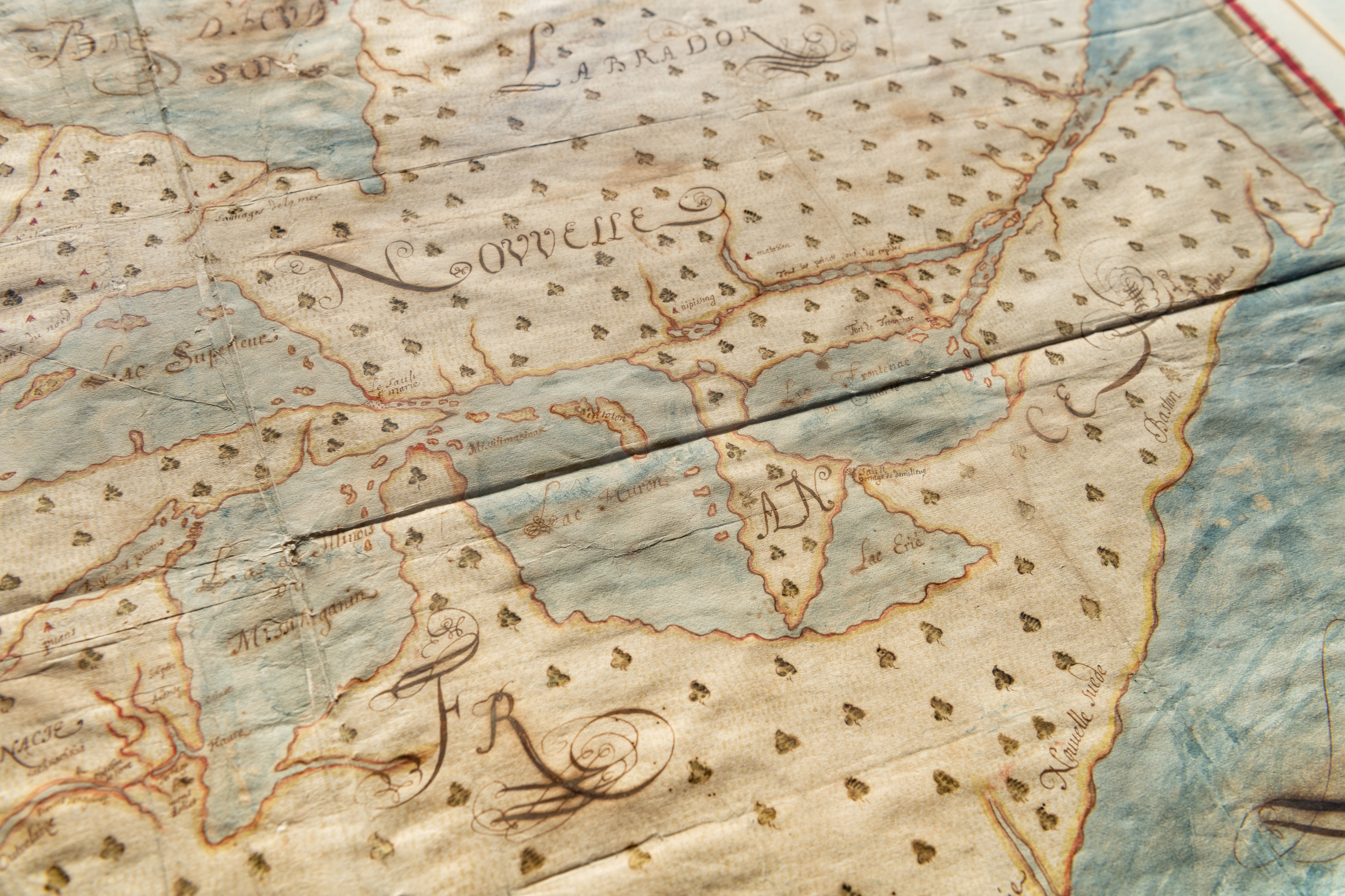
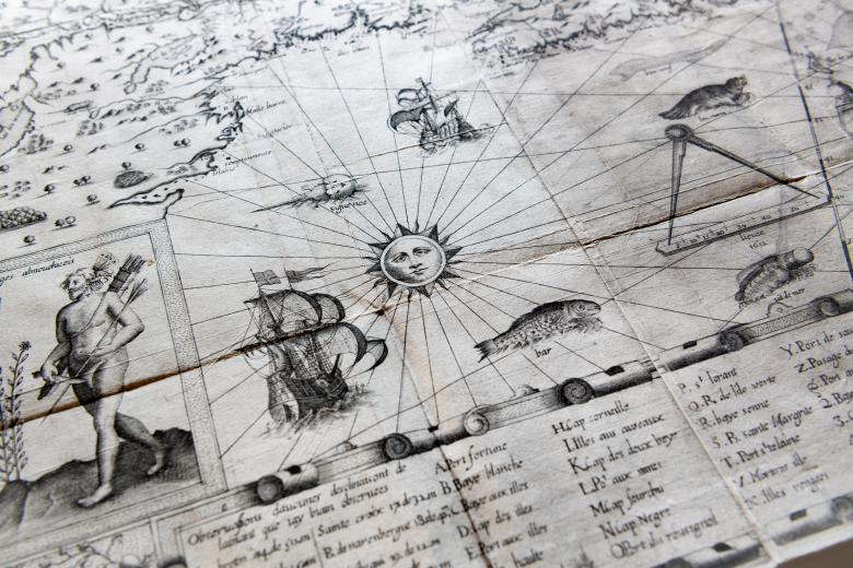
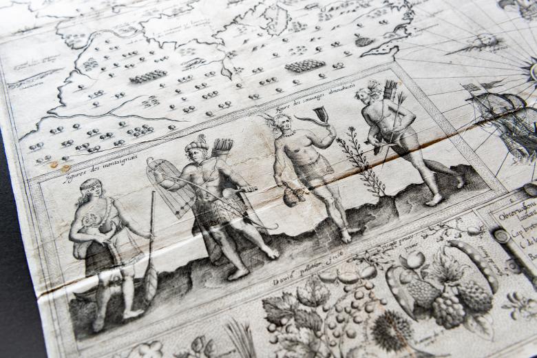
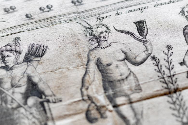
The portraits of Montagnais and “Almouchicois” men and women occupy the foreground of this visually-rich 1612 map, the first of many that Samuel de Champlain published alongside the textual accounts of his extensive journeys around Acadia and the Saint Lawrence River valley in the early seventeenth century. Their presence is appropriate as Champlain gathered much of the knowledge of the interior river and lake system represented in this map from three distinct Montagnais and Algonquin sources in 1603. Indeed, Champlain was the first European in this region systematically to gather and incorporate indigenous geographical information, including sketch maps, into his mapmaking: a practice that would be followed by the French and other Europeans in decades and centuries to come. The JCB has a tremendous body of primary materials related to Champlain, attesting to the abundance of indigenous voices in the collections.