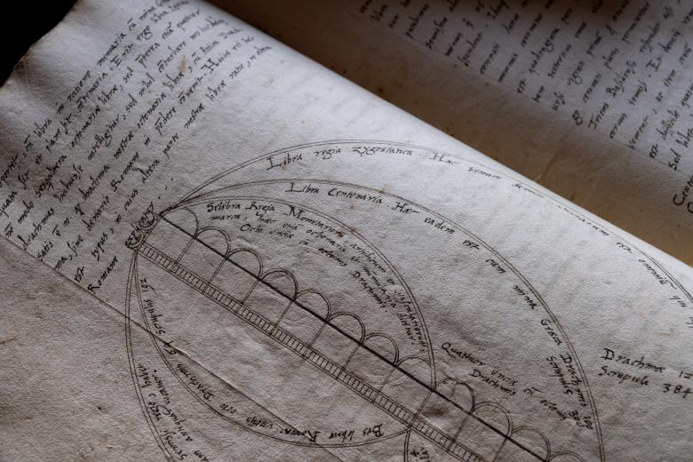
De geometriae principiis ad sphaerae astronomicae noticiam neces sariis. caput primum…
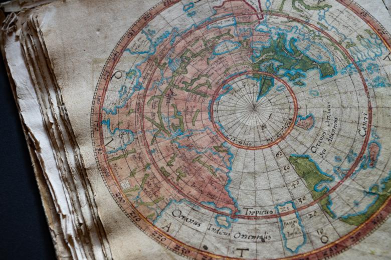
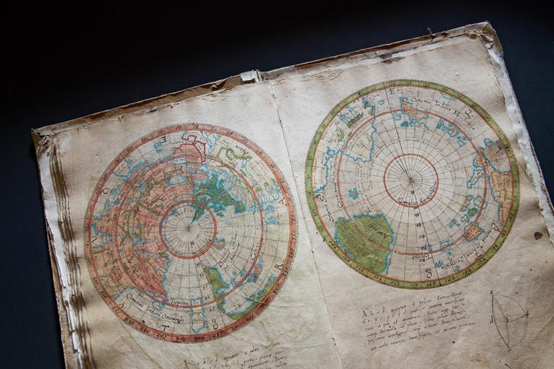
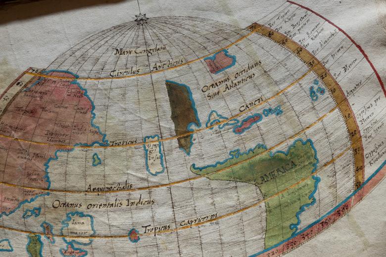
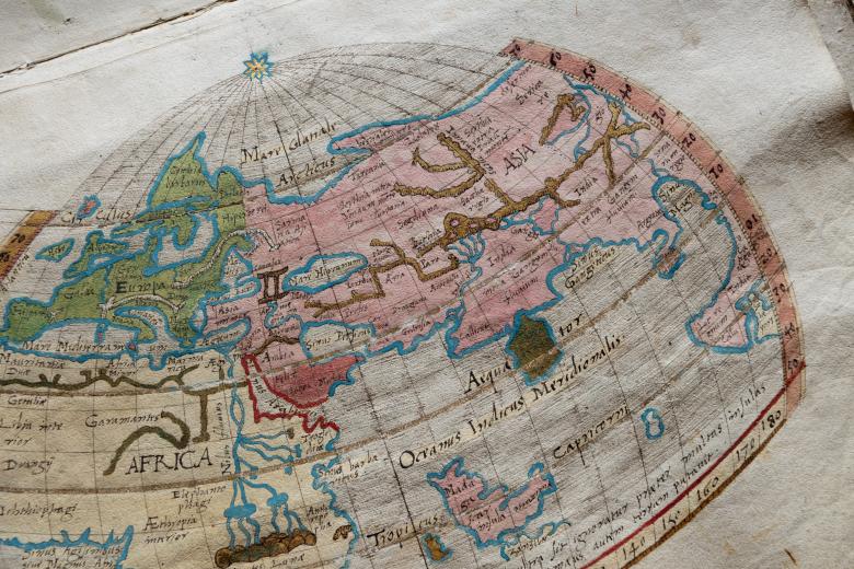
In 1527, Heinrich Loriti of Glarus, Switzerland – better known by his Latinized name, Glareanus – first published a popular book of geography De Geographia that the JCB owns in multiple editions. In 1912, the Library was also able to purchase Glareanus’ ca. 1510-1520 manuscript of this work, which contains a number of striking maps that show that he was working on the burning cartographical questions of his day well before 1527. Of the six beautifully-colored maps in this manuscript, four depict the New World, including one each of the northern and southern hemispheres. While these maps base their placement of ‘America’ on Waldseemüller’s contemporaneous printed world maps, they also show for the first time an ocean separating the Americas from Asia, imaginatively anticipating the circumnavigation by Magellan that would henceforth transform European cartography.


