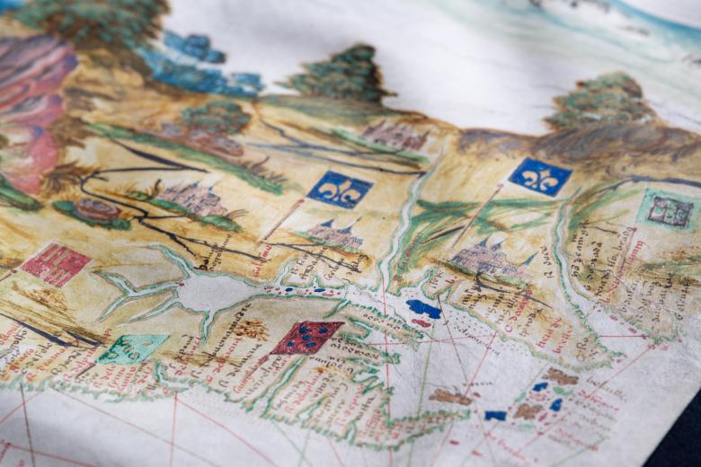
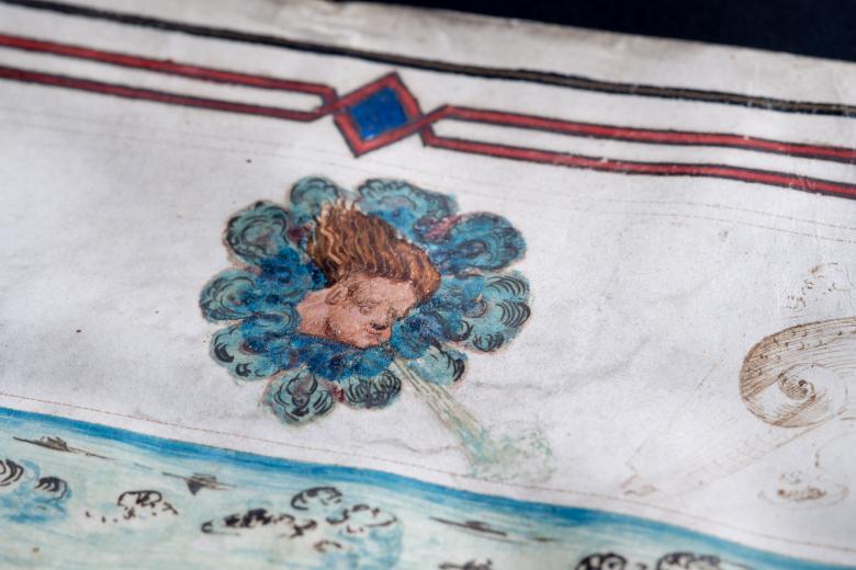
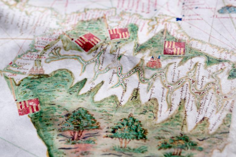
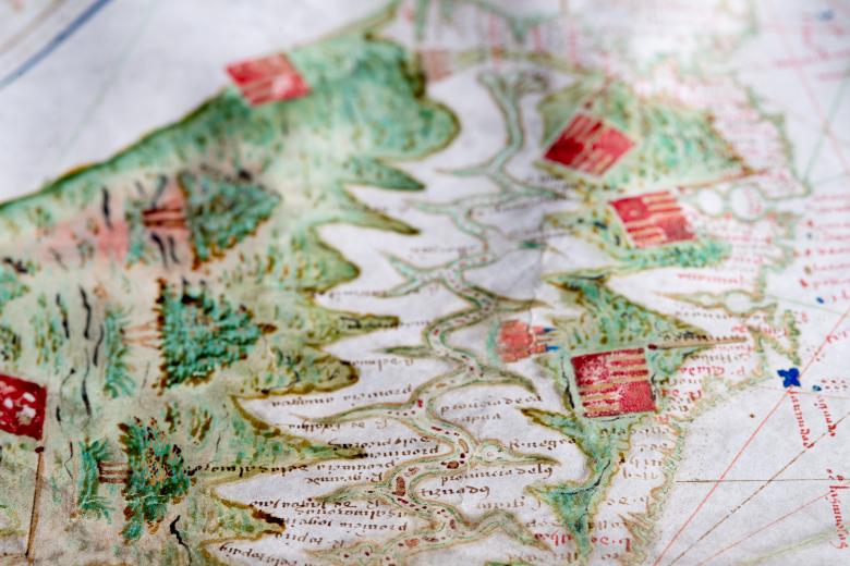
[Early representation of Newfoundland, Lower California, the Amazon, and the Ladrones]
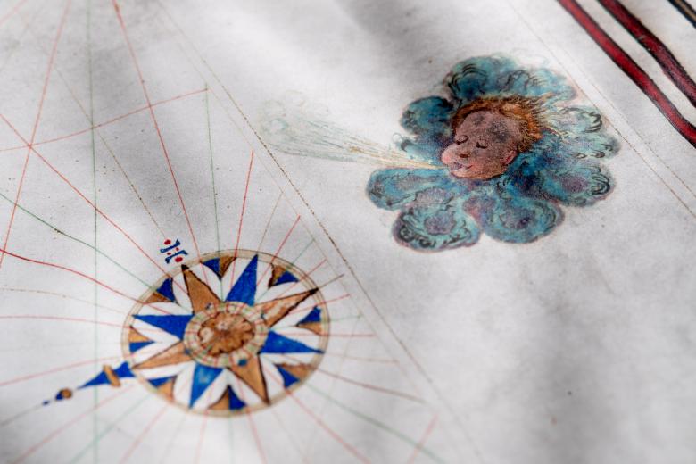
This highly colored manuscript map (produced ca. 1546) is one of very few pre-1550 maps that depicts the momentous geographic discoveries in the Americas made by Europeans of the two previous decades: Cartier’s explorations of the Saint Lawrence River, Orellana’s voyage down the Amazon, Alarcón’s expedition up the Colorado River and Ulloa’s journeys along both coasts of Baja California. The map is the western third of a world map of which the eastern two thirds have been lost, and so the Americas occupy one half of the map while the Pacific Ocean, as far as the Molucca Islands, occupies the other. Featuring seventeen wind roses and four wind heads, this remarkably pictorial map fills the interior of the Americas with painted images of mountains, trees, rivers, with Spanish, Portuguese and French flags marking European claims to territory.


