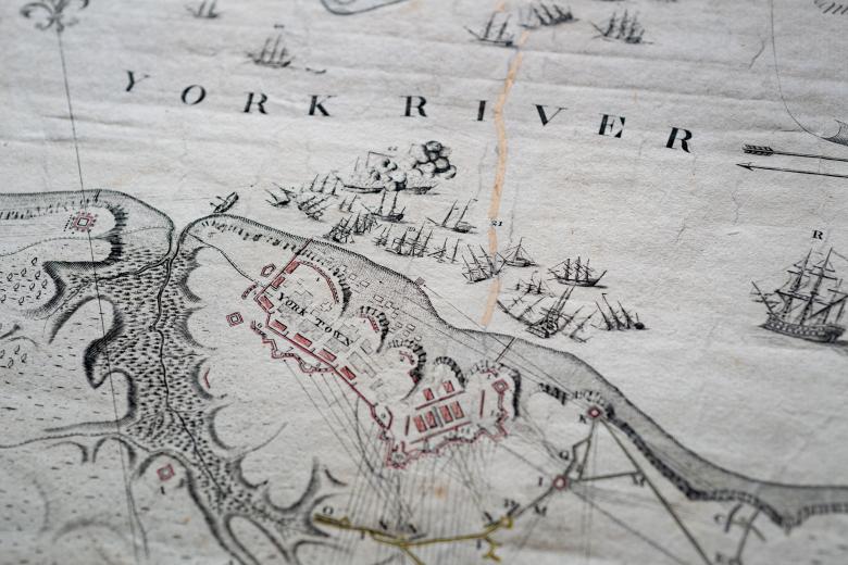
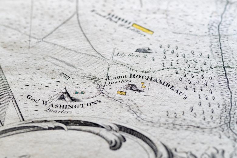
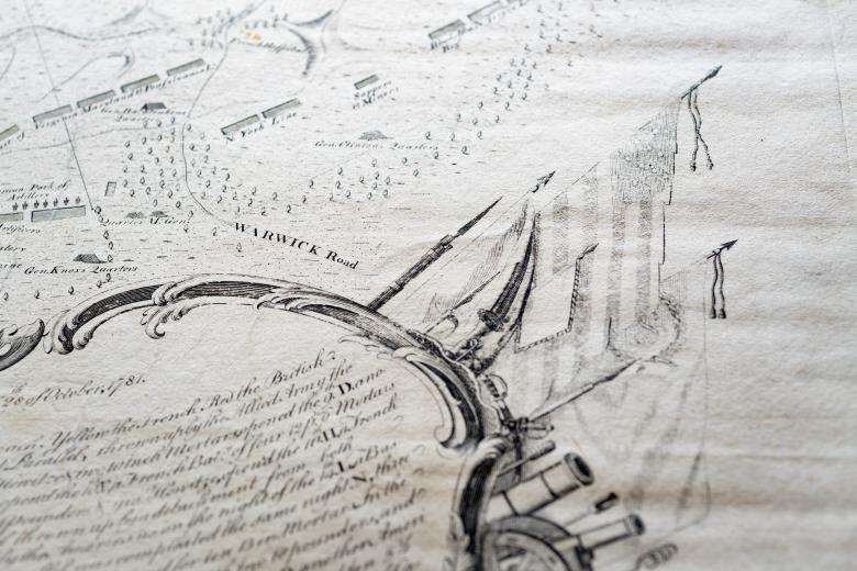
To his Excellency Gen Washington, Commander in Chief of the Armies of the United States of America. This Plan of the investment of York and Gloucester has been surveyed…
The battles and campaigns of the American Revolution generated an abundance of maps, creating a rich cartographic legacy. The JCB’s collections contain many of these maps, including the first printed map of the battleground of the iconic Battle of Yorktown, in which French and American forces secured a final victory over the British. Based on the surveys made by Major Sebastian Bauman a week after the 1781 battle, this map is also the first to show the American flag, on the right side of the cartouche. The map was commissioned by General Washington – and dedicated to him – and it displays the battlefield, Washington’s and the French General Rochambeau’s camps located at a distance from the battle lines, as well as details of the naval campaign waged in the Chesapeake that clinched the victory.
