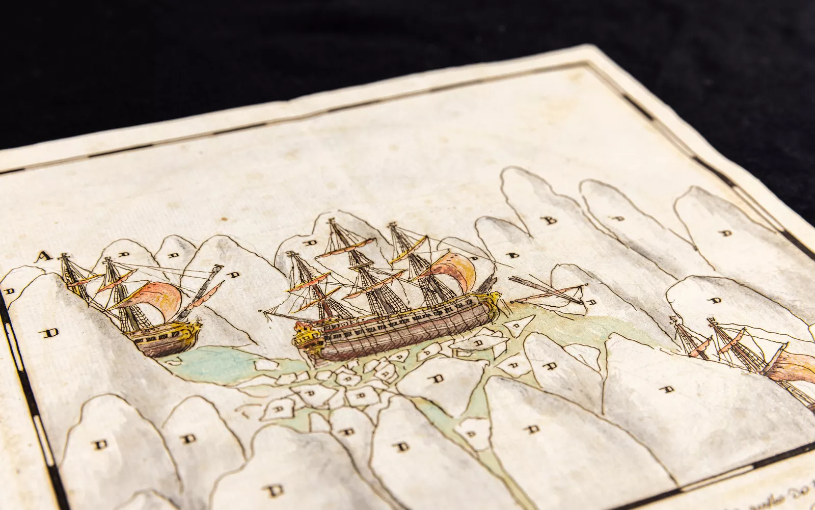
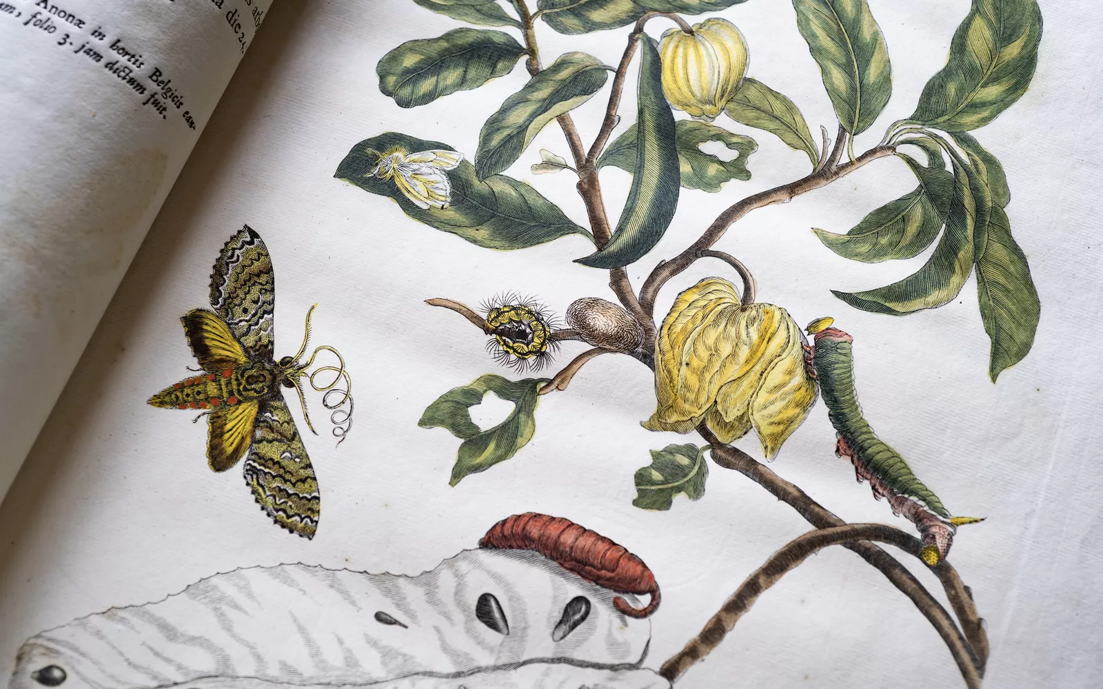
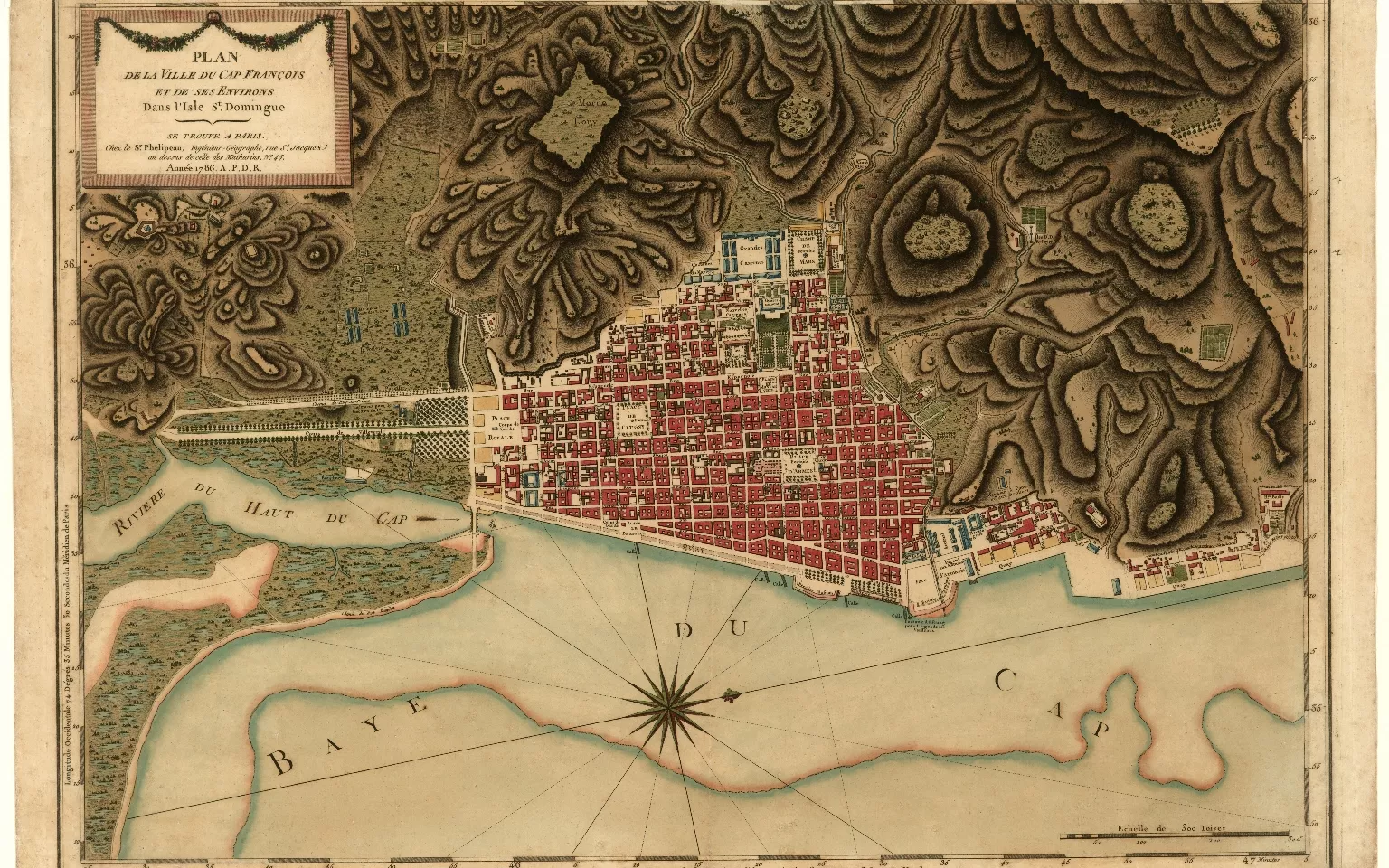
Collection
The JCB’s collection consists of over 75,000 rare books, maps, and manuscripts encompassing more than two hundred languages and spans over three centuries of early American history.
Accessing our collection
There are two pathways to explore our extensive collection of historical materials.
Don’t know where to begin? Follow this step by step guide to jumpstart your research.
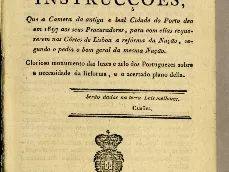
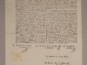
Newly added to our online collection
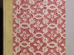
A Taste of the Collection