To the King's most excellent Majesty, this map of the Island of Jamaica...
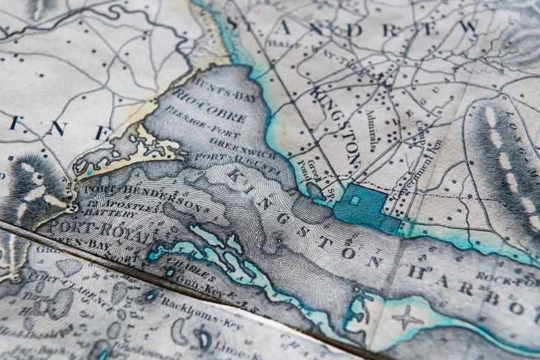
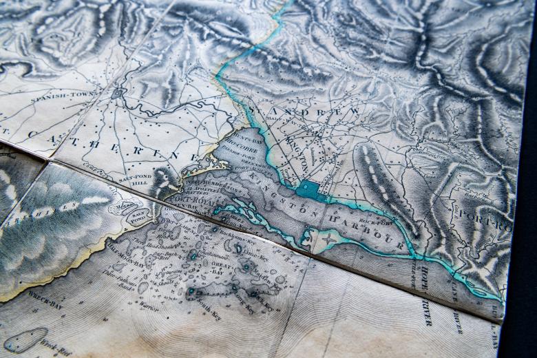
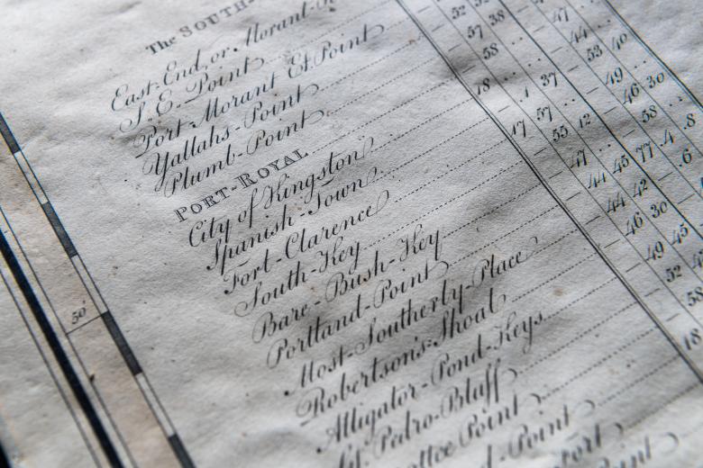
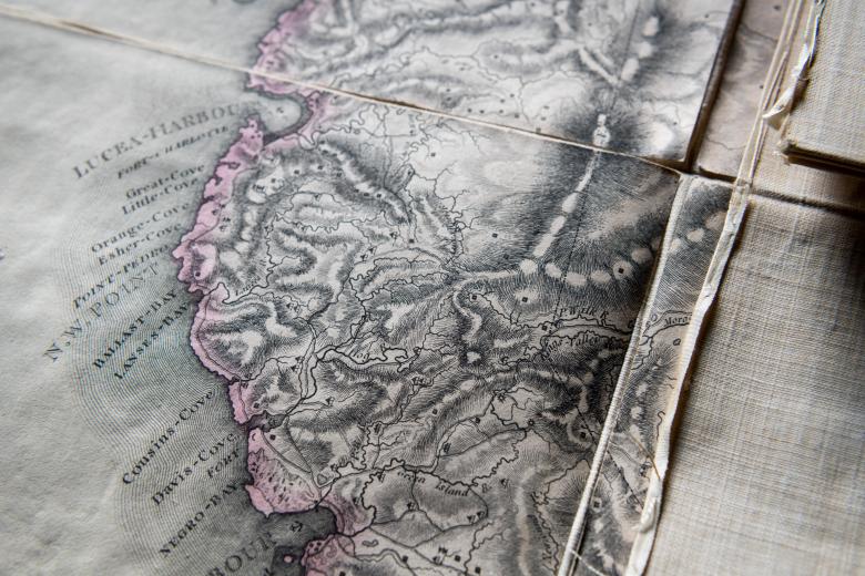
After arriving in Jamaica in 1778, James Robertson, a Scotsman who had trained as a surveyor in Aberdeen, spent his early years surveying plantations and serving as an officer and surveyor during the Second Maroon War of 1795 before . This detailed knowledge of Jamaica’s interior served him well, and in 1796, Robertson turned towards an ambitious island-wide cartographic project commissioned and financed by the Jamaican House of Assembly. Finally published in 1805, Robertson’s impressively-detailed set of maps included a single large island map (192 centimeters in length) and three separate county maps in a larger scale of one inch to the mile. The maps were immediate success, celebrated then and now for their remarkable accuracy heretofore unseen on island maps: in addition to topography and coastal detail, they show 830 sugar plantations, portraying the distribution of sugar cultivation at the time of peak production in Jamaica.


