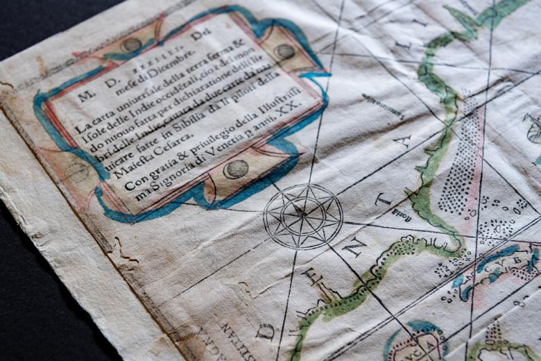
La carta uniuersale della terra firma & isole delle Indie occidẽtali…
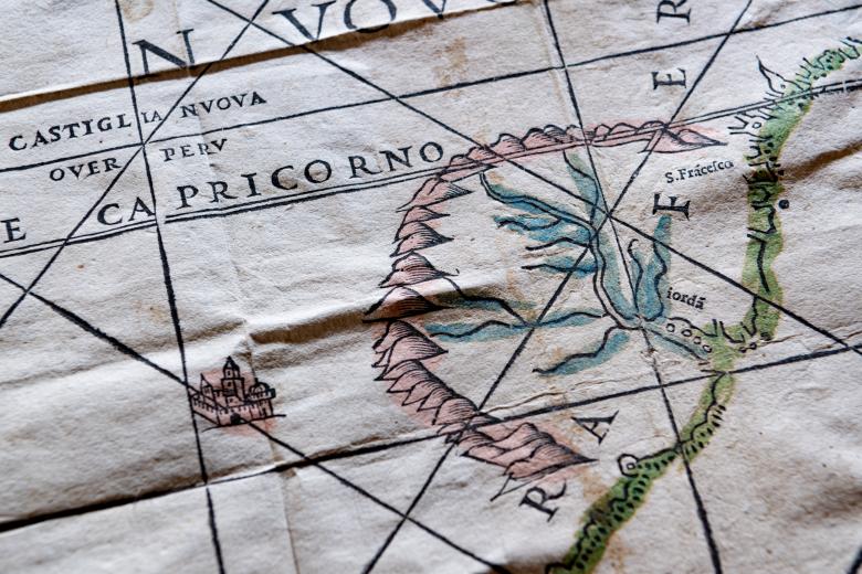
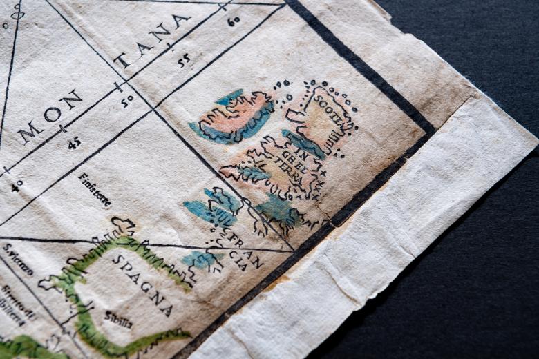
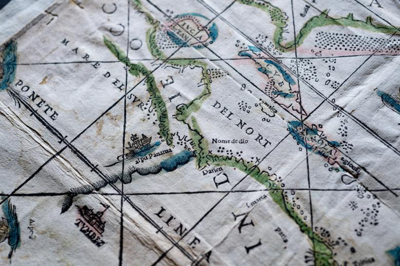
At the time of its production in 1534, this delicately colored early map of the Atlantic Ocean and the known New World was printed from one of the largest wood blocks yet used. Originally issued with Giovanni Battista Ramusio’s Summario de la Generale Historia de l’Indie Occidentali…, it is known as the ‘Ramusio Map’ and the JCB copy is one of only three surviving copies. The map is based on the group of maps produced by or under the direction of Diego Ribeiro, official cartographer to the Spanish Crown, and it reveals the extent of Spanish geographical knowledge of the New World in the 1530s. Its place names are thus based on early Spanish explorers (Estevan Gomez and Lucas Vásquez de Ayllón) but also include names that have survived the centuries: Florida, Panama, Cuba and Yucatan.


