![Detail of a colored, engraved map shows pink, yellow, and green used to outline areas on the mainland and blue to color water. Labels in English over places such as [New] "England."](https://jcblibrary.org/sites/default/files/styles/collection_item_slideshow_active/public/collections/Map-of-the-British-and-French-Dominions-3.jpg?itok=SEfVWSC1)
Map of the British and French Dominions…,
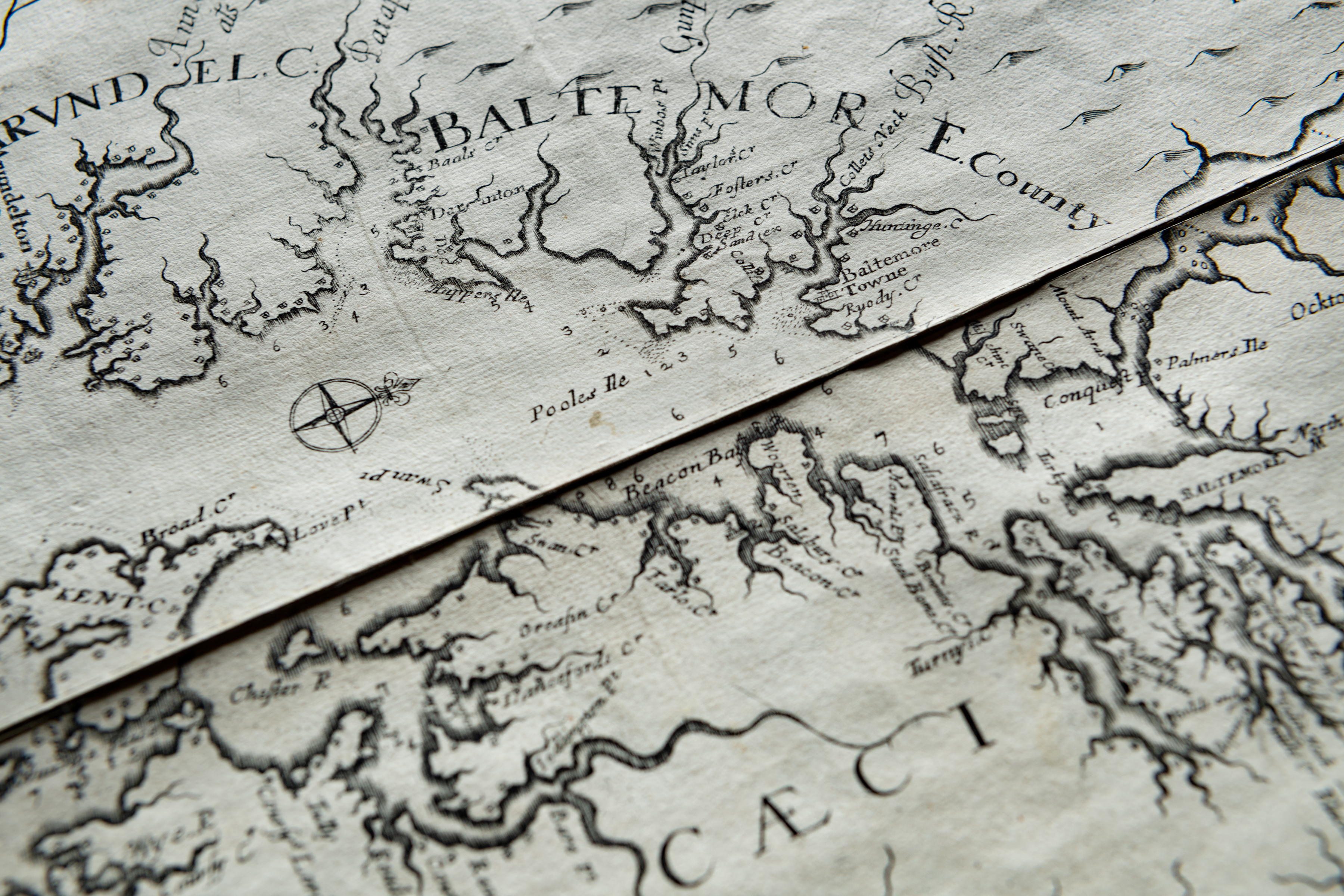
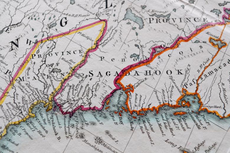
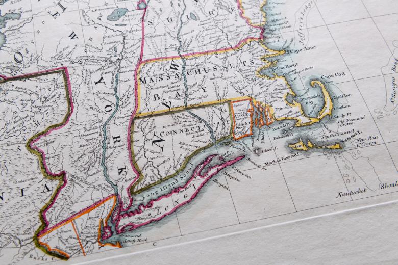
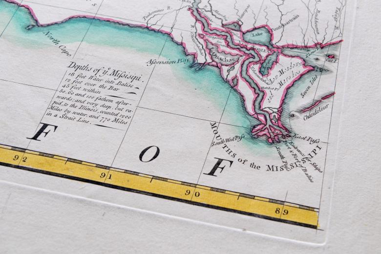
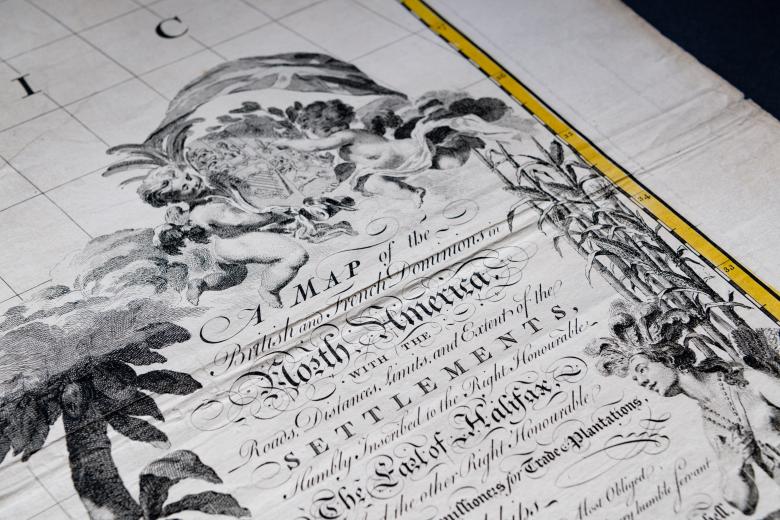
Called “the most important map in American history” by an early director of the Library of Congress Map Division, this map was used by the diplomats negotiating the 1783 Treaty of Paris to visualize the new borders of the United States of America after its revolutionary war. It continued to be used, moreover, in Canada-US as well as interstate boundary negotiations well into the twentieth century. Despite the map’s importance, John Mitchell was primarily a physician and botanist with no background in cartographic production. He based the map on official sources of information to which the Earl of Halifax, president of the British Board of Trade and Plantations provided Mitchell access, and which the Earl of Halifax solicited from colonial authorities. Accordingly, Mitchell made his map to provide cartographic evidence for the widest possible imperial claims that Britain was staking on the continent of North America, and to minimize the numerous counter-claims made by imperial rivals Spain and, especially, France. The large wall map, engraved on 8 copper sheets, was made in multiple editions, over thirty years and in several languages; the JCB owns both a first and third edition.