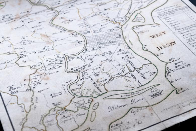
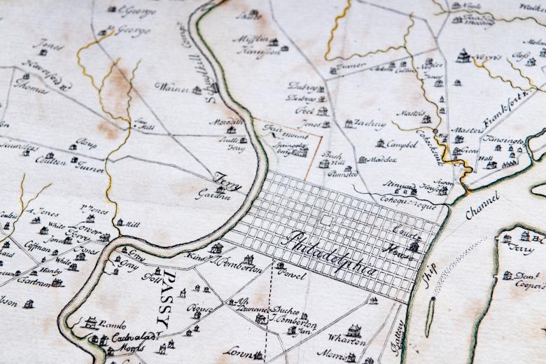
Detail of hand colored, engraved map of Philadelphia, Pennsylvania shows roads, rivers, and settlements. Text in English labels features.
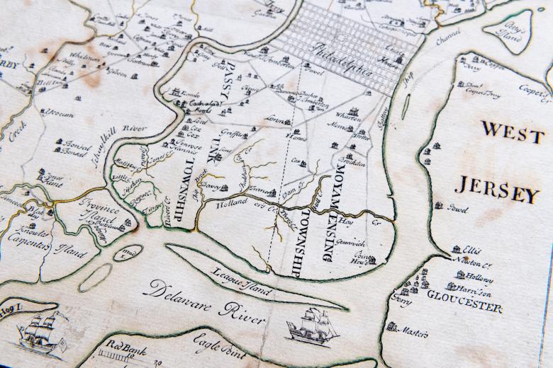
Detail of hand colored, engraved map of Philadelphia, Pennsylvania shows roads, rivers, settlements, and ships. Text in English labels features such as the Delaware River and West Jersey.
Detail of hand colored, engraved map of Philadelphia, Pennsylvania shows roads, rivers, settlements, and ships. Text in English labels features such as townships, the Delaware River, and West Jersey.
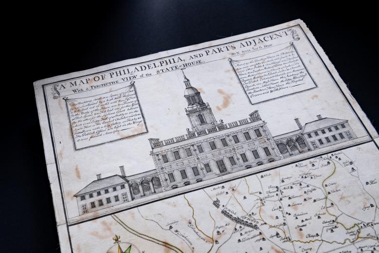
Detail of hand colored, engraved map of Philadelphia, Pennsylvania shows prospective view of the State House. Text in English shows the title of the map "Map of Philadelphia, and parts adjacent. With a prospective view of the State-House." Other text in English describing the building is out of focus.

prospective view of the State House

A map of Philadelphia and parts adjacent..

Nicholas Scull
1752

The majestic state house occupies the top third of this first engraved map of the city of Philadelphia, another in the JCB’s unparalleled collection of American city views, perhaps anticipating the role that the Liberty Bell would play in the American imagination in years to come. While the map was based on the surveys of the city completed by the official city surveyor, George Heap, the rendering of the façade of the state house was drawn by Nicolas Scull. At the time of its drawing, the building was not, in fact, complete, and Heap’s depiction was based on city plans, thus showing it as it would appear in the future. Republished more than any other map of Philadelphia, the map shows the city embedded within a vibrant and dense network of roadways, farms and villages (its ‘Parts Adjacent’) alongside the Delaware River.
Genre

Theme

Language

Period

More From The Collection