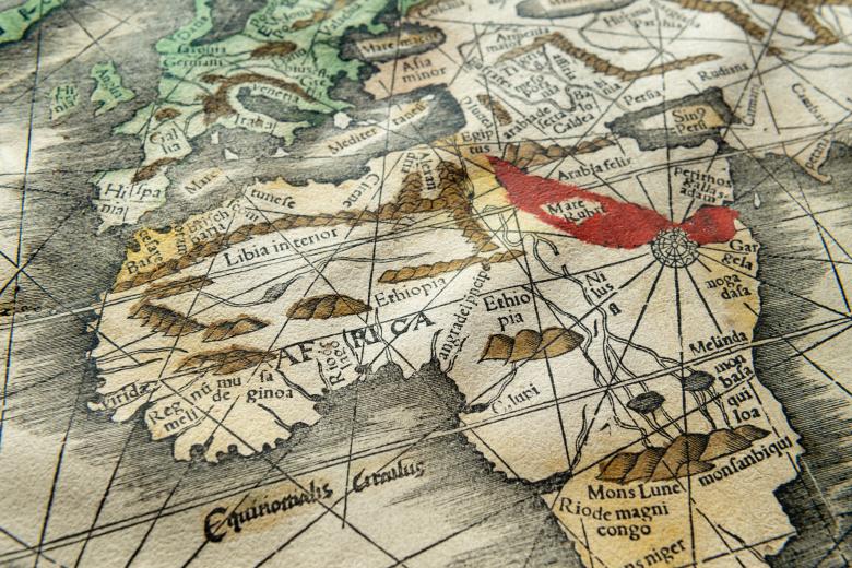
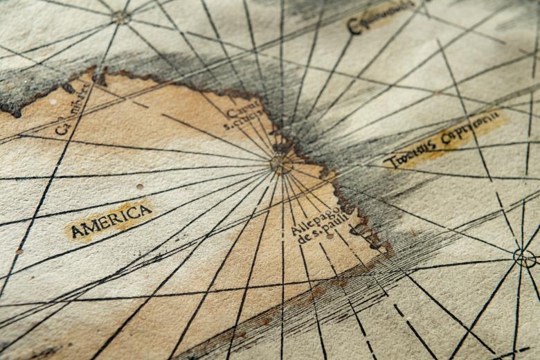
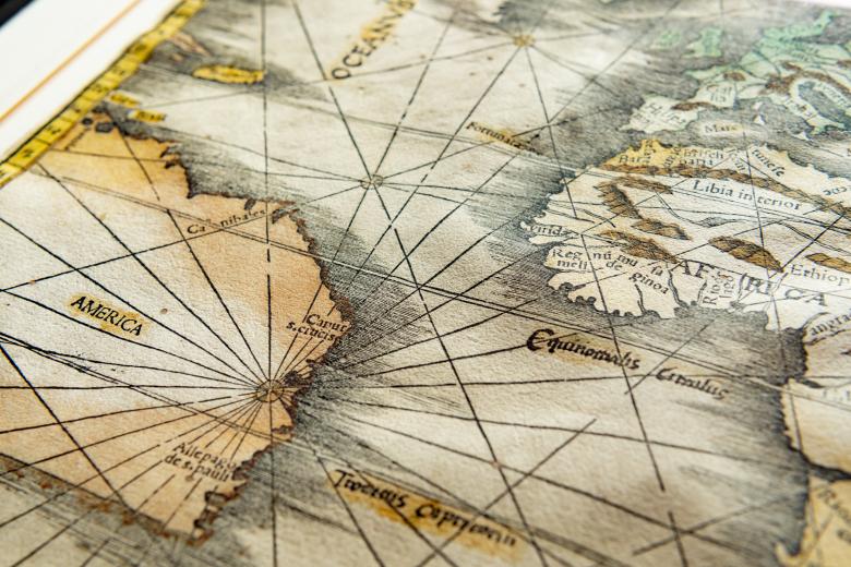
Orbis Typus Vniversalis Iuxta Hydrographorum Traditionem
Both a JCB treasure and an enigma of the highest order, the so-called “Stevens-Brown Map” is a woodcut world map drawn by Martin Waldseemüller between 1507 and 1512. The beautifully-colored map features the typeset-name ‘America’ placed over the continent of South America, thus mirroring the confirmed first use of that name on Waldseemüller’s 1507 wall map in the Library of Congress. The JCB map also closely resembles the world map Waldseemüller drew for the 1513 edition of Ptolemy (also owned by the JCB), but the latter map was cut from a different wood block and does not feature the name ‘America.’ The “Stevens-Brown Map” has been the subject of much research and debate over the 120 years that it has belonged to the JCB, reflecting its iconic status in the development of how Europeans described their ‘American’ discoveries.


