
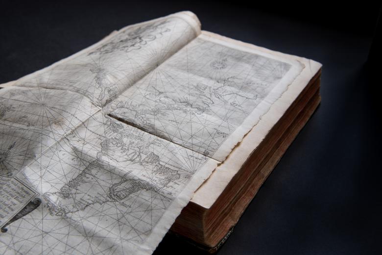
Principall navigations, voiages, and discoveries of the English nation
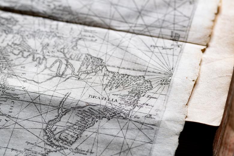
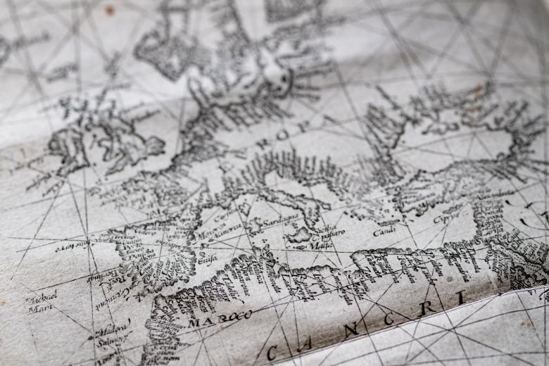
One of the first printed world maps drawn using the innovative Mercator projection was drawn in 1599 by Edward Wright, an English mathematician. In the same year Wright published a mathematical treatise on how to apply the new map projection, this two-sheet world map was published, unattributed to Wright, in Richard Hakluyt’s Principal Navigations…(3 volumes, 1598-1600). The JCB’s copy of Hakluyt’s Principal Navigations bound with the 1599 Wright map in its original form of 2 separate sheets, as it had been issued. While the map does not include much of the northern Pacific coastlines and a southern continent, Wright’s map is celebrated today for its accuracy, and Wright himself is considered to be the first to explain to the seafaring public the map projection that would dominate cartography for centuries to come.


