Skip to main content
Main navigation
News
Events
Exhibitions
1846: Inventing Americana at the John Carter Brown Library
Simon Bolivar, The Libertador
Upcoming Events
Past Events
Research
Using the Library
Instructional Support Guide
Requesting Materials
Resources and Publications
Image Permissions & Requests
Catalog
Fellowships
Opportunities
Fellows Directory
Life in Residence
Remote Fellowship Program
Visit
Visiting the JCB
Requesting Materials in the Reading Room
Collection Highlights
Places
Languages
Themes
Periods
Genres
About
Mission
Initiatives
History
People
Leadership
Staff Directory
Toggle Search
Search
Search
Search Menu
Online Catalogue (BruKnow)
Theme
Collecting History of the JCB Library
Share
Facebook
Twitter
Email
Featured Items
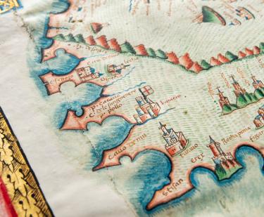
Orbis Typus Vniversalis Iuxta Hydrographorum Traditionem
1513
The Secretary's guide, or, Young mans companion
William Bradford
1728
An essay towards the reconciling of differences among Christians...
Roger Williams
circa 1645
[Portolan atlas] / Vesconte de Maiolo ciuis Janue conposuy
Vesconte Maggiolo
1511
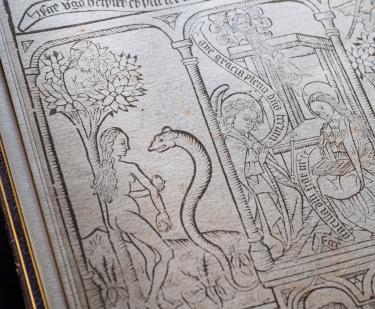
Biblia pauperum
1460-1470
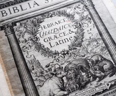
Biblia Sacra Hebraice, Chaldaice, Graece, & Latine Philippi II
1573
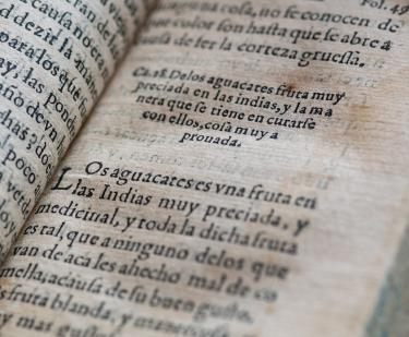
Secretos de chirurgia
Pedro Arias de Benavides
1567
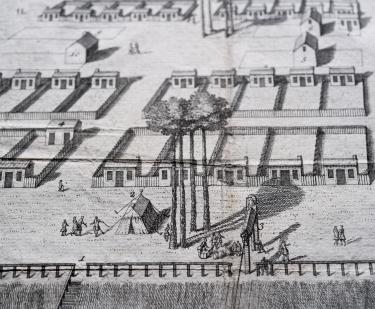
A View of Savanah as it stood the 29th of March. 1734
Peter Gordon
1734
See Also
Religious Cultures
South America