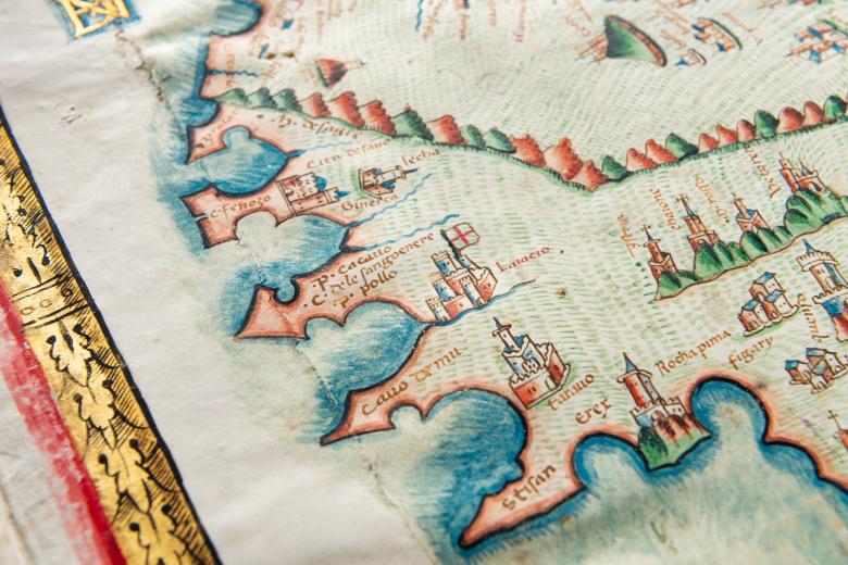
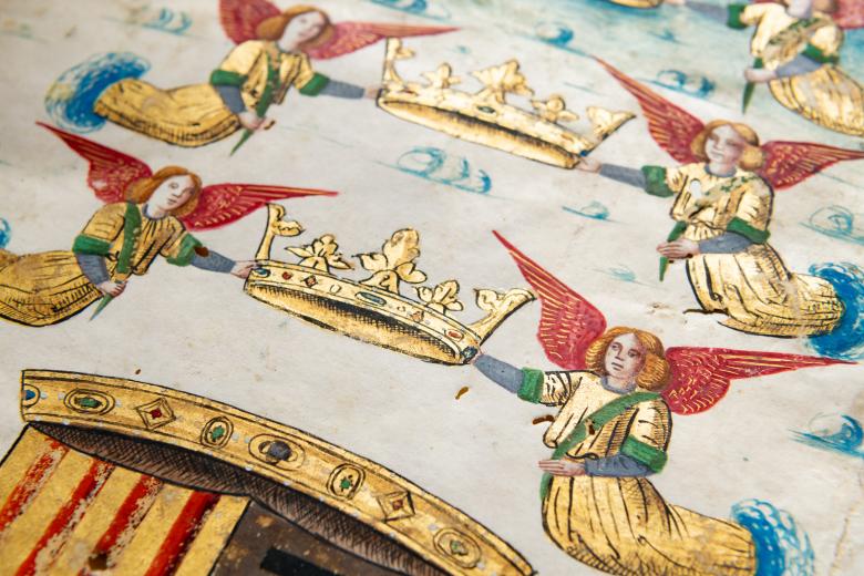
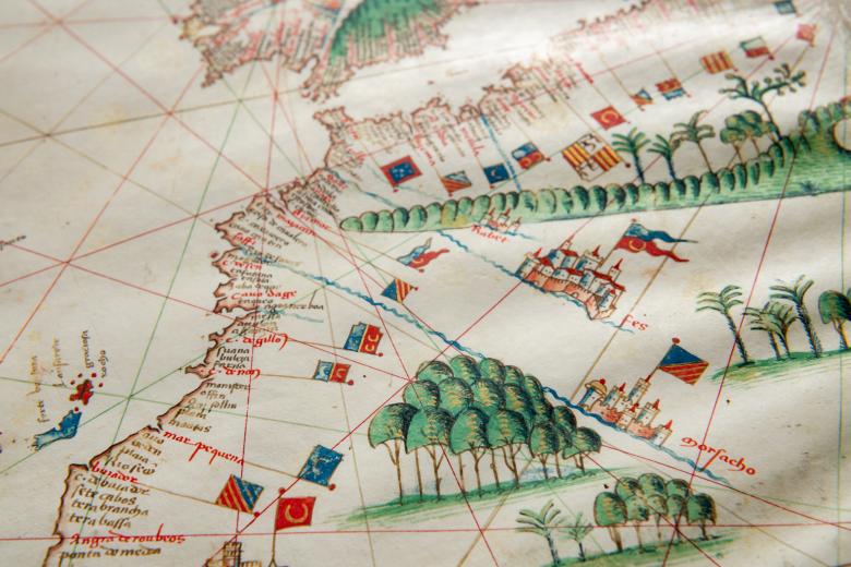
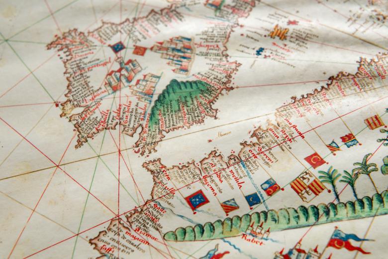
[Portolan atlas] / Vesconte de Maiolo ciuis Janue conposuy
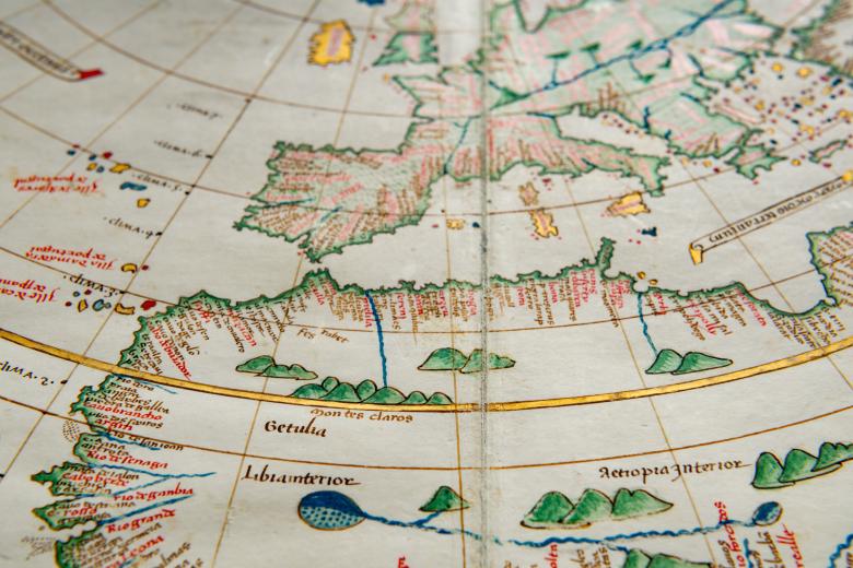
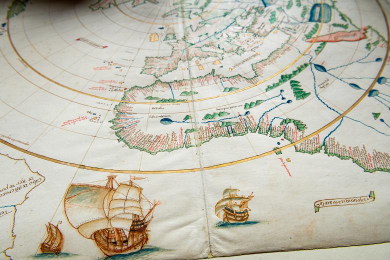
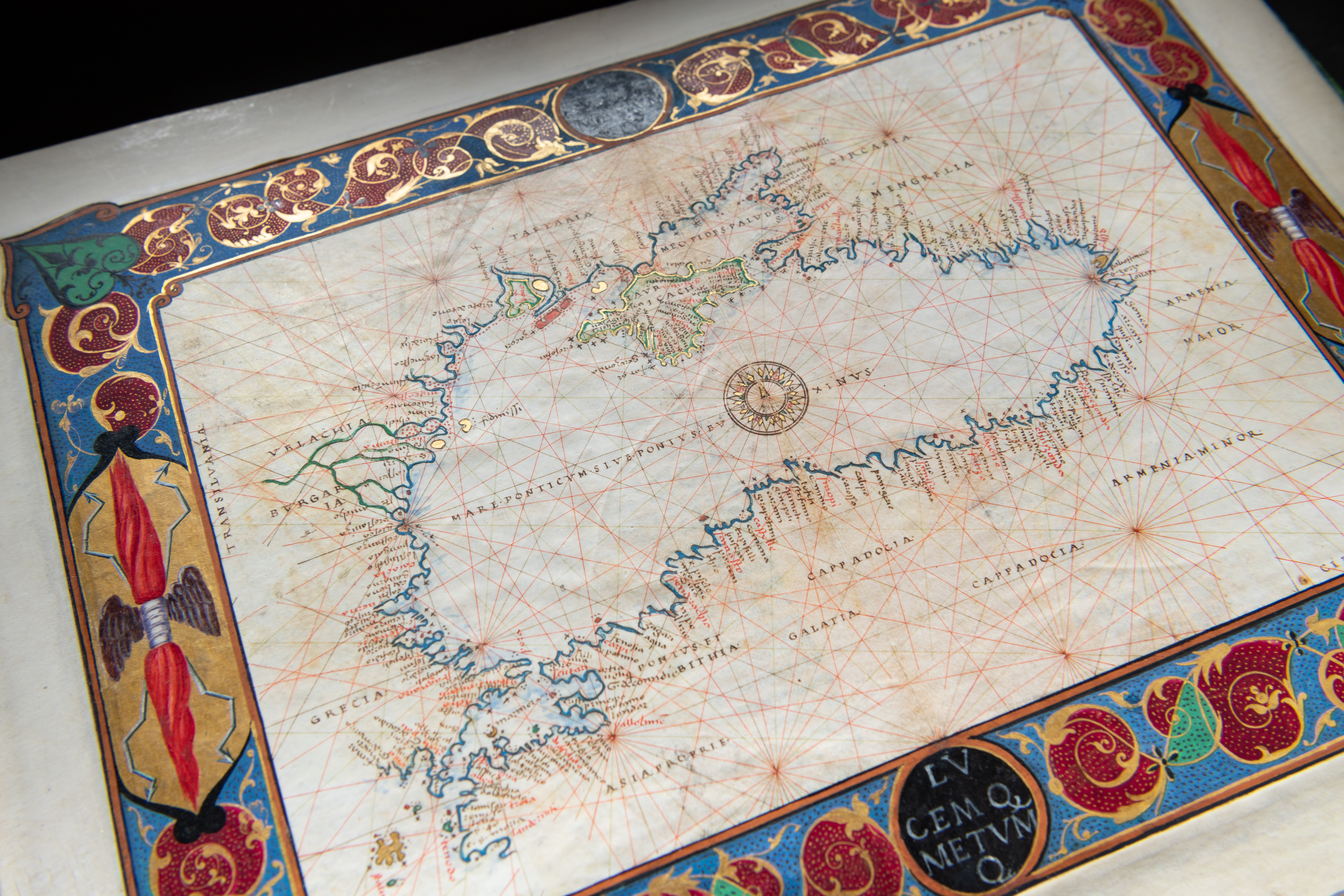
Vesconte Maggiolo’s exquisite 1511 manuscript atlas is one of a half-dozen manuscript atlases in the JCB’s collections, and was purchased by John Nicolas Brown (JCB’s son) in 1893, the day after he purchased the Agnese Atlas. Maggiolo was one of the most esteemed Italian cartographers of the century, although this is one of only five known atlases that he produced. While the majority of the maps in the atlas follow the conventions of portolan charts of the day, the single world map is extraordinary. One of the few cartographic objects representing the New World within twenty years of Columbus’ landfall in the Caribbean, its place names record the transatlantic expeditions on the northeast coasts of North America that immediately succeeded that pivotal one further south: “Terra de Corte Reale de rey de Portugall,” "Terra de los Inglesy" and "Terra de lauoradore de rey de Portugall" all correspond to coastlines along Newfoundland, Labrador and other parts of Atlantic Canada.
