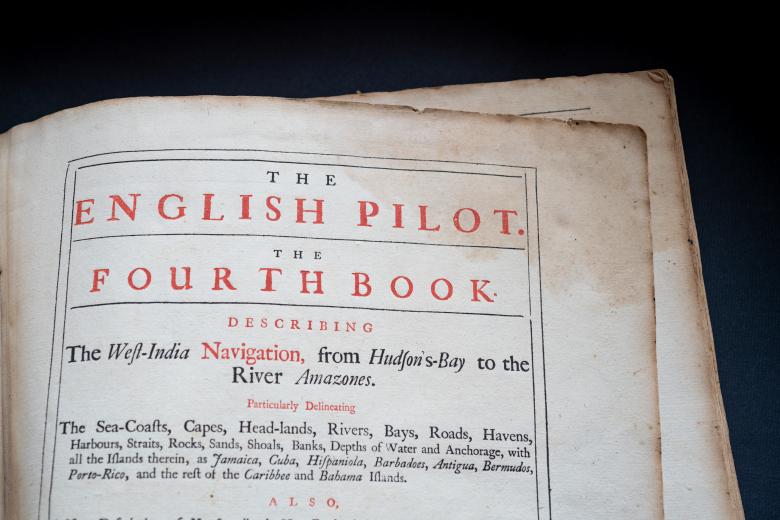
The English pilot, Book 4
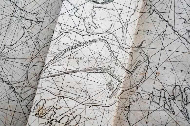
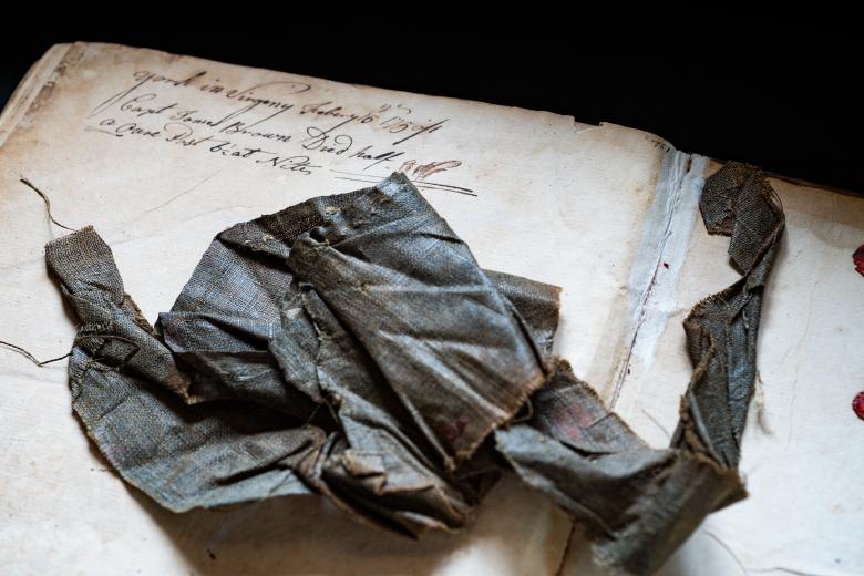
The first ambitious marine atlas project undertaken in England was begun in 1671 by John Seller, a prominent London cartographer. Begun in a period dominated by Dutch maps and mapmakers, it was entitled the English Pilot, and it continued to be published in different parts that corresponded to the requirements for sailing in different world regions, in various editions and by cartographers who succeeded Seller until 1803. The atlases’ maps were a combination of new maps and those copied from Dutch and French originals. The JCB owns many editions of the English Pilot, Fourth Book, the atlas dedicated to navigation in the West Indies, including the 1745 edition owned and used at sea by Captain James Brown, the eldest great-uncle of John Carter Brown. This atlas holds scraps of the original eighteenth-century burlap that had covered it, as well as a note on the endpaper stating that Captain James Brown died at sea off the coast of Virginia on February 15, 1750.
