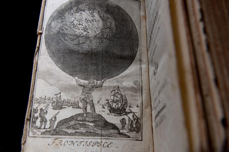
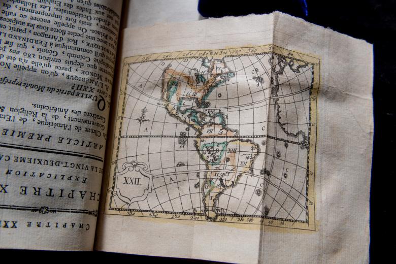
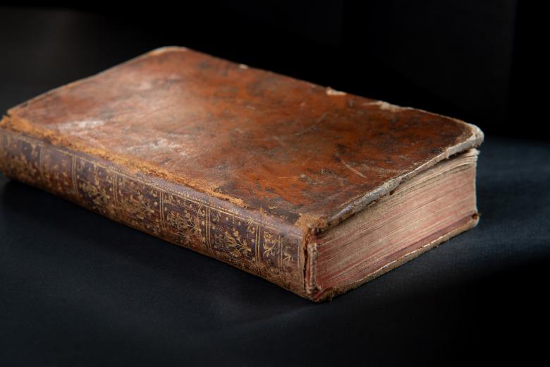
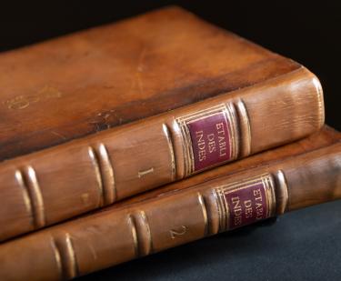
Atlas des Enfans, ou nouvelle methode pour apprendre la geographie,...
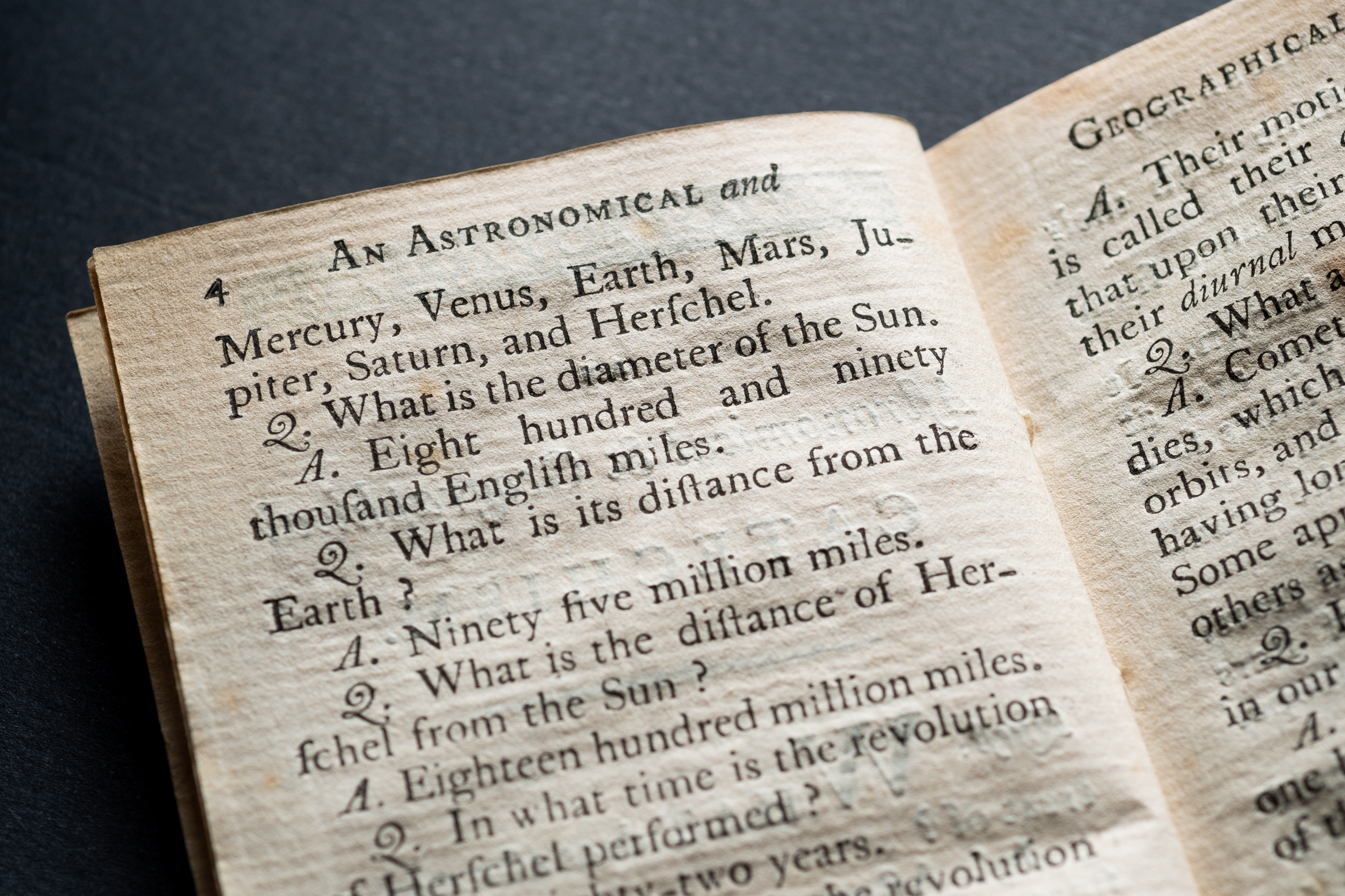
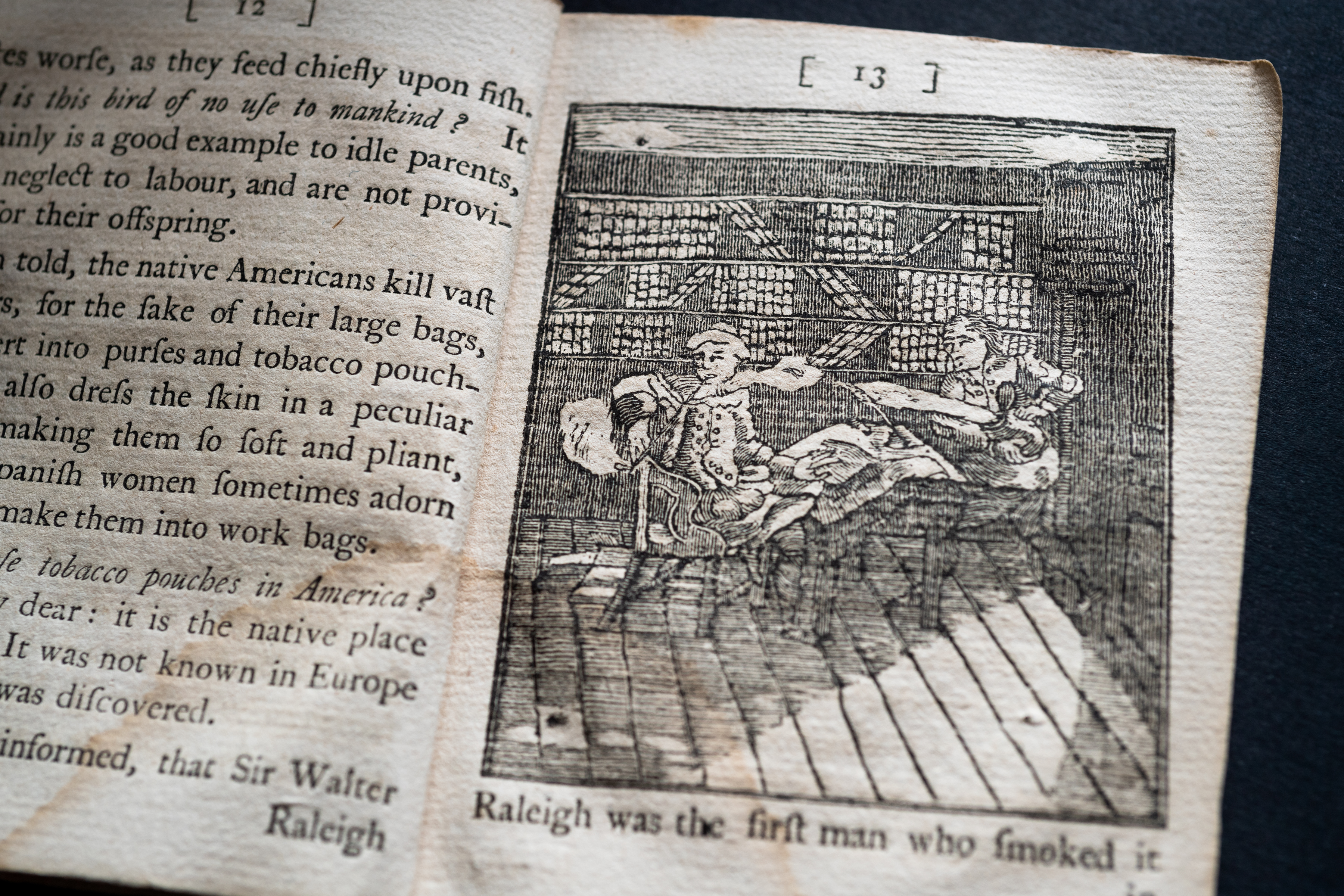
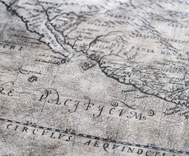
How did children learn about geography and the globe? This popular French children’s atlas, published in many editions after the first in 1766, brought expanding knowledge of the globe’s surface – via hand-colored maps copied from Guillaume Delisle - to an audience of children (of both sexes, as the introduction insists in several places) in a pocket format. Employing a didactic question-and-answer format, it presents elements of the physical, political, climate and human geography of each kingdom, region or state, explicitly linking children’s study of geography to their ability to contribute to the commercial, political and military activities of their homeland. In 2018, the JCB acquired a French and a Spanish edition of the atlas, which will join the Portuguese edition we currently own, providing an invaluable source for comparative scholarship across languages.
