
Battista Agnese atlas
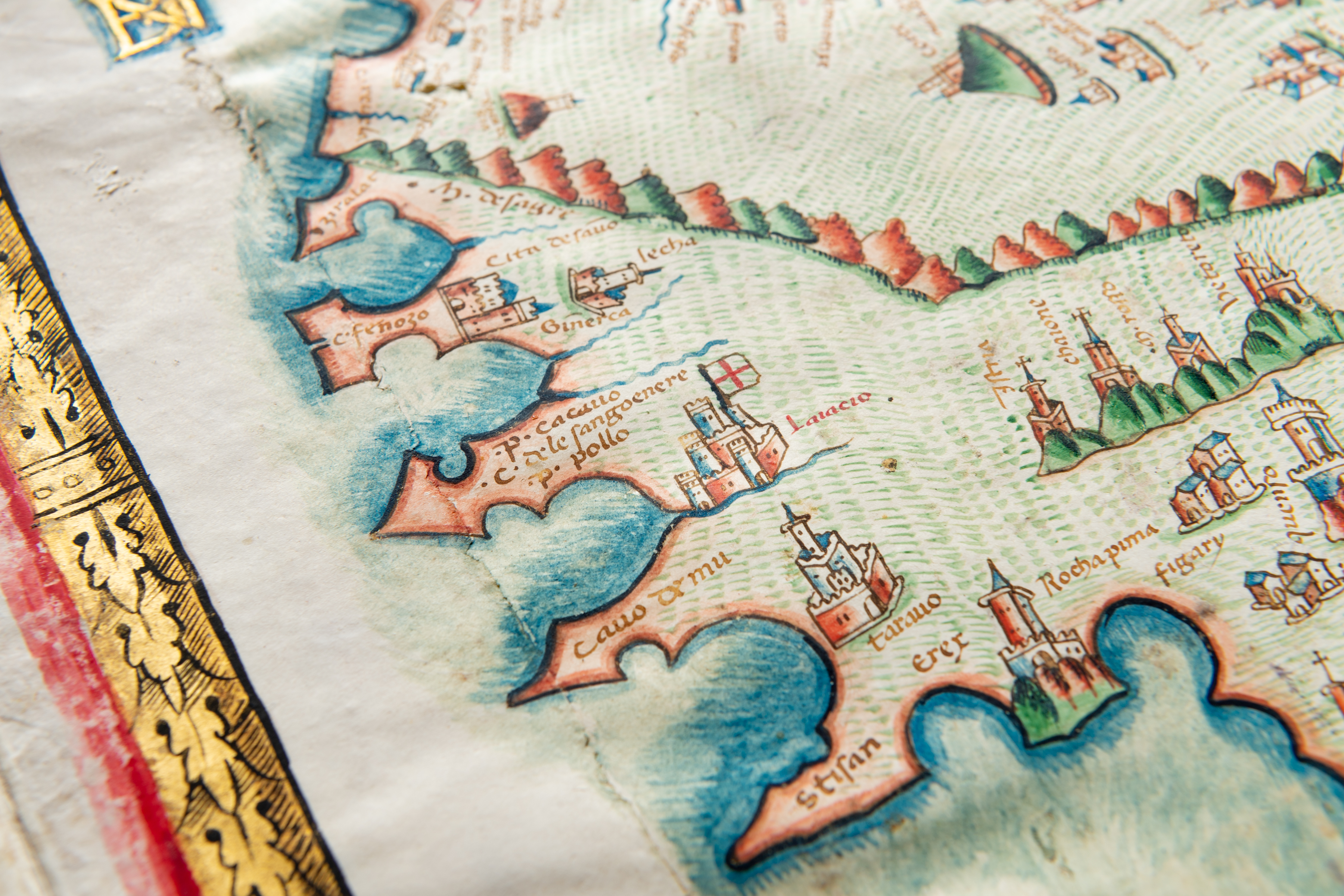
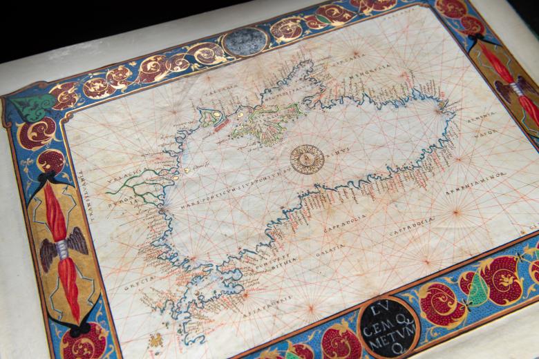
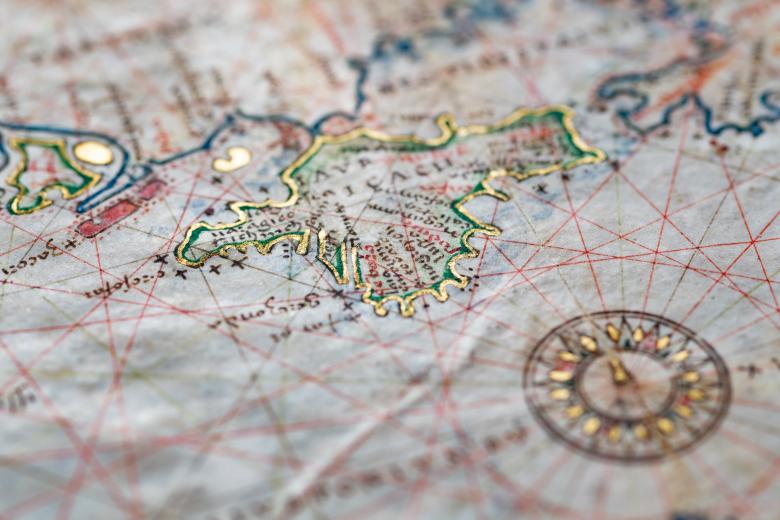
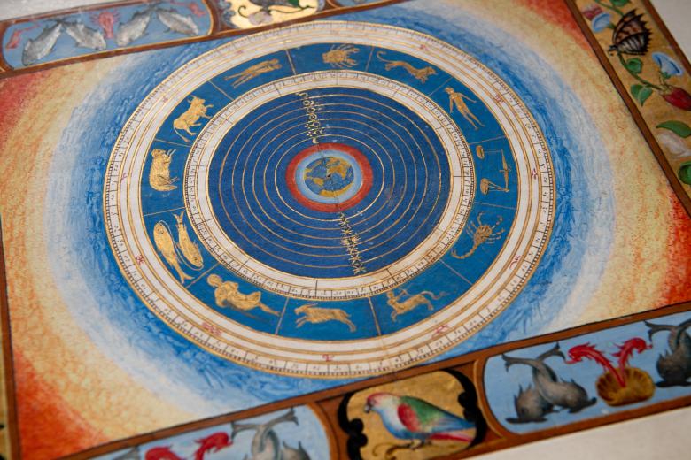
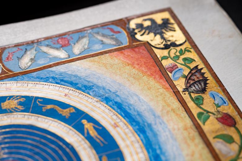
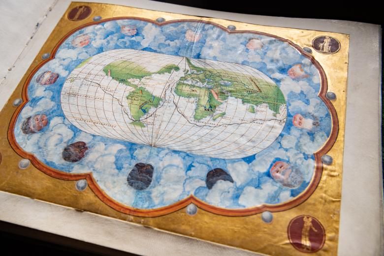
This stunning portolan-style atlas figures amongst the 70 or more manuscript atlases produced in Venice by the Genoese cartographer Battista Agnese in the middle decades of the sixteenth century. They were all remarkably accurate geographically, reflecting the most recent expeditions of exploration that continued to transform European understandings of the Americas. Although they were also works of luxury, produced to circulate in elite courtly circles as gifts and to be displayed as evidence of the owners’ worldliness, wealth and social status, the quality of decoration, color and illumination sets the JCB atlas apart. These elements merge, for instance, in the first map, an oval world map spanned by a golden line representing Magellan’s circumnavigation. The atlas begins with a folio containing a portrait of Charles V and his coat of arms, followed by two tables of declination and then ten map folios, each framed by a highly decorated border.