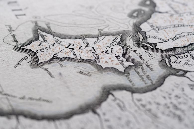
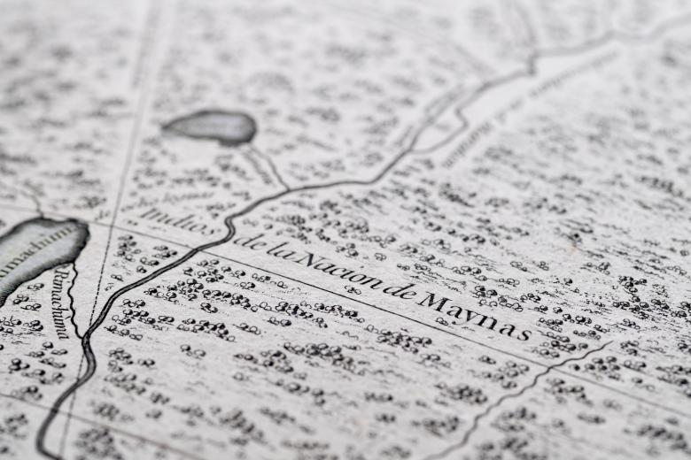
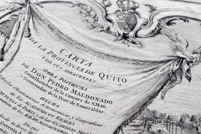
Carta de la Provincia de Quito y sus Adjacentes
Printed maps based on direct eyewitness observation in eighteenth-century Spanish America are relatively rare, but this highly detailed map of the Audiencia de Quito has a special history. It was based on the observations of Riobamba native Pedro Vicente Maldonado and confected in the workshop of French cartographer Jean-Baptiste Bourguignon d’Anville, with the assistance of d’Anville’s Parisian colleague – and famed South American explorer – Charles-Marie de la Condamine. The four sheets joined together show a region stretching from the Pacific coastline across the Andes and into the Amazonian interior, replete with numerous notes relating to indigenous populations, both historical and contemporary, as well as some sites of archaeological and geographical prominence. Acquired by the Library in 2014, it joins an extensive swathe of South American maps that cut across Amazonian and Andean landscapes in the colonial era.
