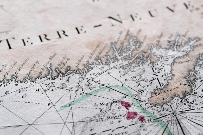
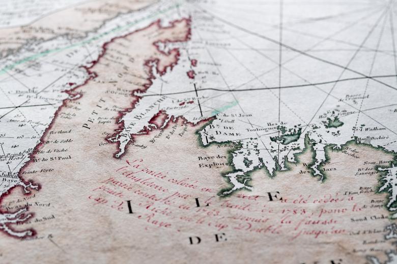
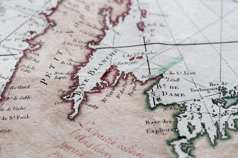
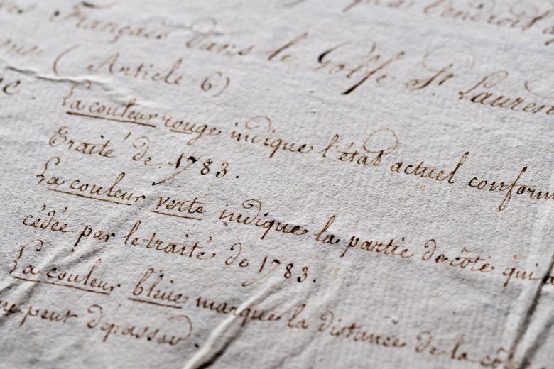
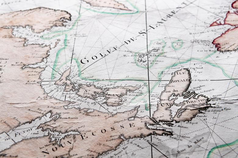
Carte reduite des bancs et de l'Ile de Terre-Neuve avec les cotes du Golf de St. Laurent et de l'Acadie
The addition of manuscript annotations and hand-applied colour bring to life this official French naval map of Newfoundland and the St. Lawrence Gulf drawn up after the American War of Independence. Because of its key role in the wartime victories over the British, France was able to increase its territorial rights over the Newfoundland cod fishery that it had lost over the previous several decades. The map is a conventional maritime pilot that depicts coastlines, soundings and other navigational details. The extensive annotations and the colour, however, tell the complicated story of the almost total loss of French sovereignty in North America after the 1713 Treaty of Utrecht and the 1763 Treaty of Paris. Together the map and its text present a vision of a century of Anglo-French rivalry, a new phase of Franco-American alliance and throughout, the critical economic and geopolitical roles played by Newfoundland, Acadia and the North Atlantic cod fishery.


