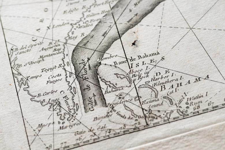
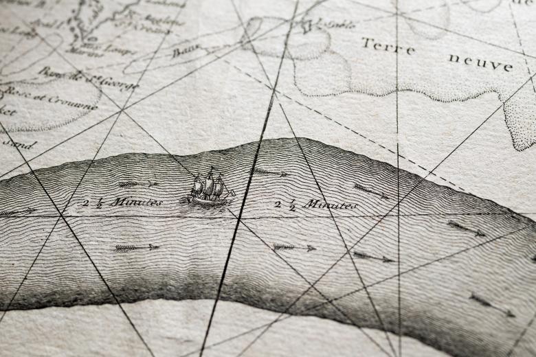
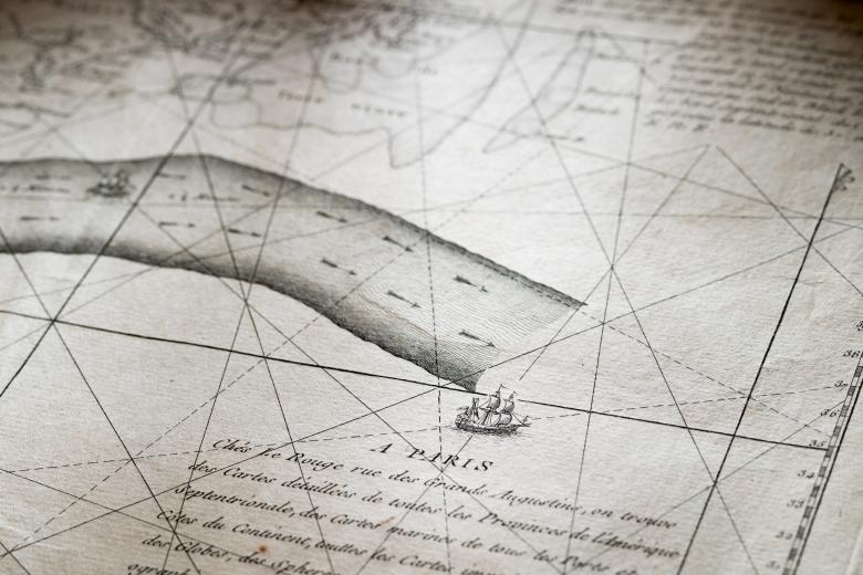
The Gulf Stream flowing northwards…
The Gulf Stream is an integral part of the wind and current system of the Atlantic Ocean, and thus pivotal to the histories of European transatlantic expansion and trade. The Spanish became aware of it immediately following their navigation beyond the Caribbean Sea and used it in navigation henceforth, although secretively. Benjamin Franklin described and named the current in 1770, while working with his cousin, Timothy Folger, a Nantucket merchant seaman, who produced a sketch of the Gulf Stream. During the American Revolutionary War, Franklin had the chart printed in Paris and distributed it to the French naval captains providing important naval support to the Americans. The charts disappeared after the war until they were rediscovered in France two centuries later.
