Skip to main content
Main navigation
News
Events
Exhibitions
1846: Inventing Americana at the John Carter Brown Library
Simon Bolivar, The Libertador
Upcoming Events
Past Events
Research
Using the Library
Instructional Support Guide
Requesting Materials
Resources and Publications
Image Permissions & Requests
Catalog
Fellowships
Opportunities
Fellows Directory
Life in Residence
Remote Fellowship Program
Visit
Visiting the JCB
Requesting Materials in the Reading Room
Collection Highlights
Places
Languages
Themes
Periods
Genres
About
Mission
Initiatives
History
People
Leadership
Staff Directory
Toggle Search
Search
Search
Search Menu
Online Catalogue (BruKnow)
Language
English
Share
Facebook
Twitter
Email
Featured Items
An essay towards the reconciling of differences among Christians...
Roger Williams
circa 1645
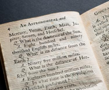
An astronomical and geographical catechism. For the use of children.
Caleb Bingham
1795
The Secretary's guide, or, Young mans companion
William Bradford
1728
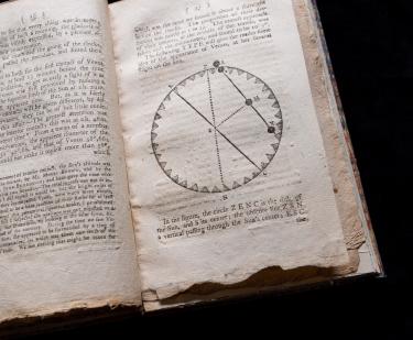
An account of the observation of Venus upon the sun...
Benjamin West
1769
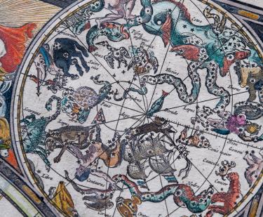
The sea-atlas or the watter-world
Hendrick Doncker
1626-1699
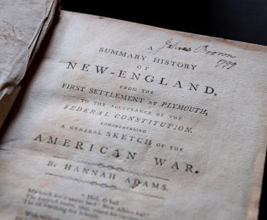
A summary history of New-England
Hannah Adams
1799
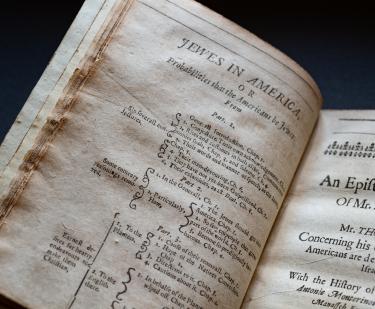
Jewes in America. Part 1
Thomas Thorowgood
1652
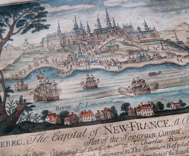
Quebec: The Capital of New France
Thomas Johnston
1759
Show More
Related
Collections Up Close
Joan Apple and the Naming of America
July 5, 2008
See Also
15th Century
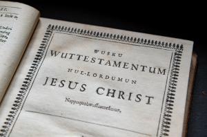
Indigenous Languages