Ordenanza que para la division de la m. noble y leal ciudad de Santiago de Queretaro en cuarteles menores, creacion de alcaldes de ellos, y reglas para su gobierno.
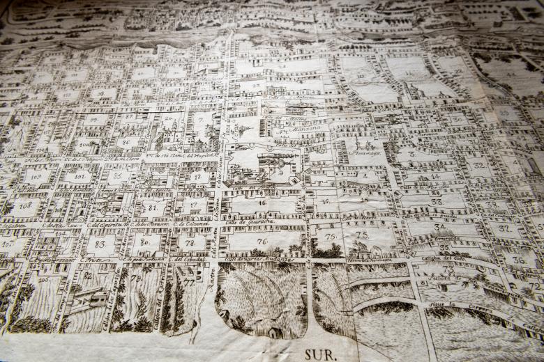
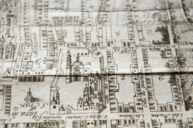
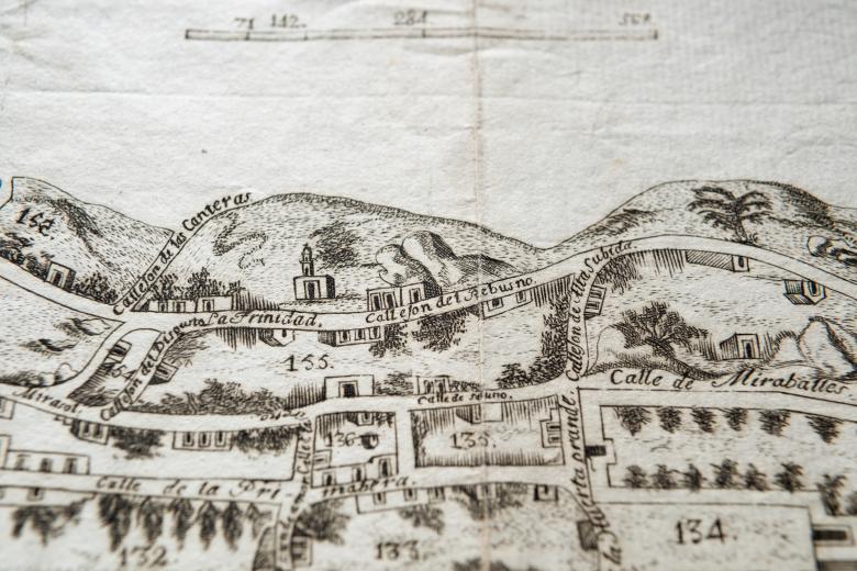
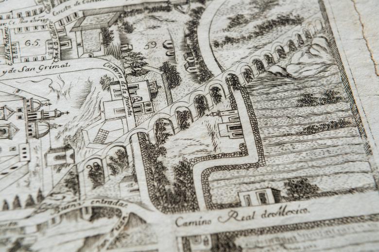
The JCB cartographic collections are extraordinarily rich in urban maps, views and plans of the colonial Americas. This rare 1796 map of Queretaro joins the growing collection of colonial-era plans of urban centers in New Spain. Queretaro was a key link between the mining areas to the north of Mexico City and the port of Veracruz. Its location made it one of the most developed and affluent urban centers in eighteenth-century Spanish America. This very early example of urban mapping was originally issued with a set of urban ordinances (also owned by the JCB), demonstrating the reforming intentions of its author, the city’s magistrate, at the very pinnacle of the city’s Baroque golden age. The map depicts each of the city’s 155 blocks. It reveals intimate details of the city’s topography, including the aqueduct, individual buildings, monuments, workshops and fountains, and the network of roads that united the urban structure.
