Pilote americain septentrional
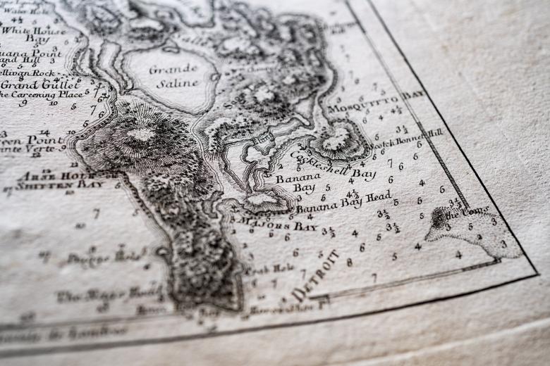
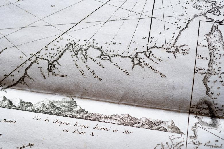
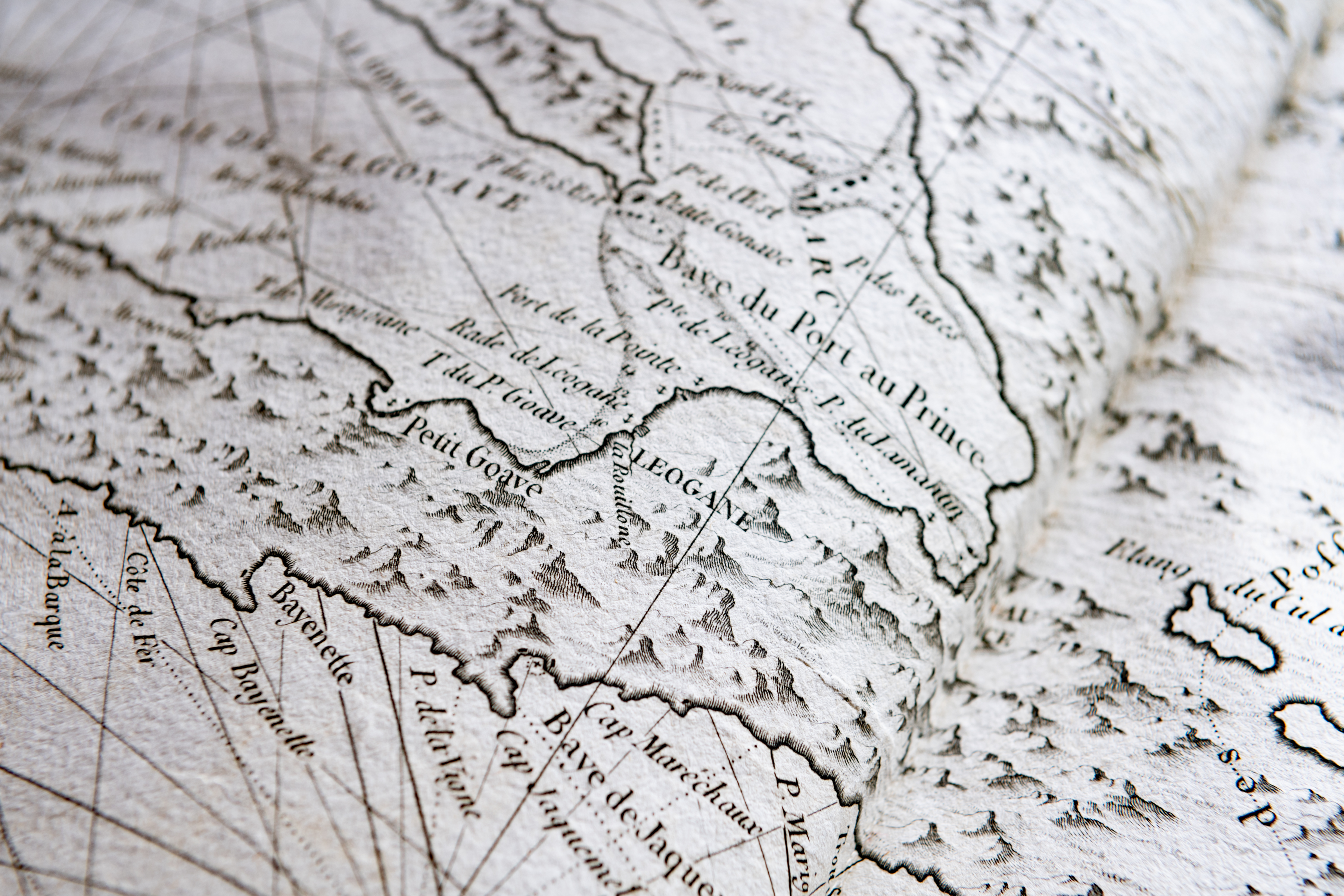
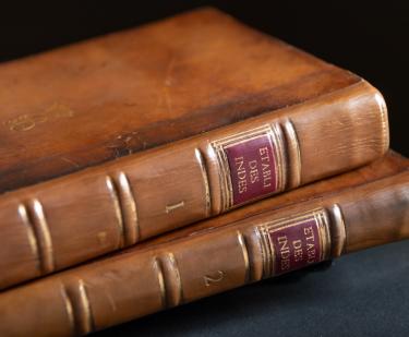
This atlas, another in the JCB’s extensive collection of maritime atlases, was produced by George-Louis Le Rouge, a French mapmaker, publisher and ingénieur du roi to Louis XV. Le Rouge was responding to the growing commercial market in France for maps of the Americas in the second half of the eighteenth century, especially during the period of growing French support for the Americans during their Revolutionary War. The maps in the atlas were copies: Le Rouge based them on available published English maps, such as those by John Mitchell and the maps in the Atlantic Nepture (both in the JCB), as well as on earlier Dutch maps. These French maps were themselves used in another French atlas published in these years, the Neptune Americo-Septentrional (also in the JCB) issued by the Depôt des cartes et plans de la Marine (French Navy), and used' by the Navy in its wartime campaigns.
