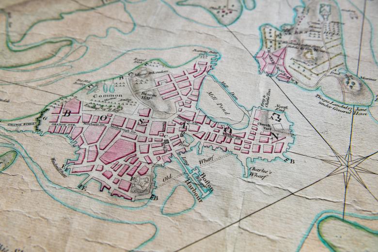
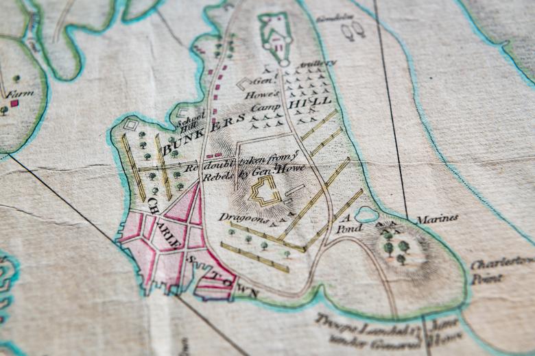
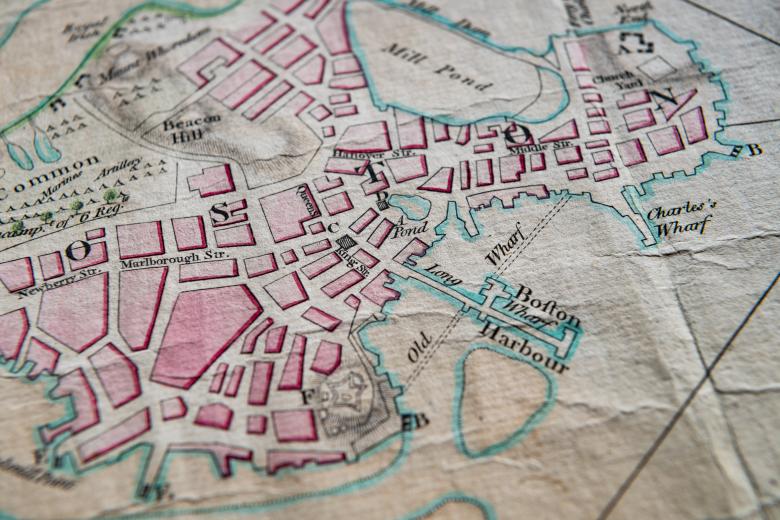
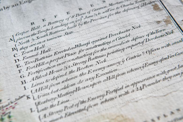
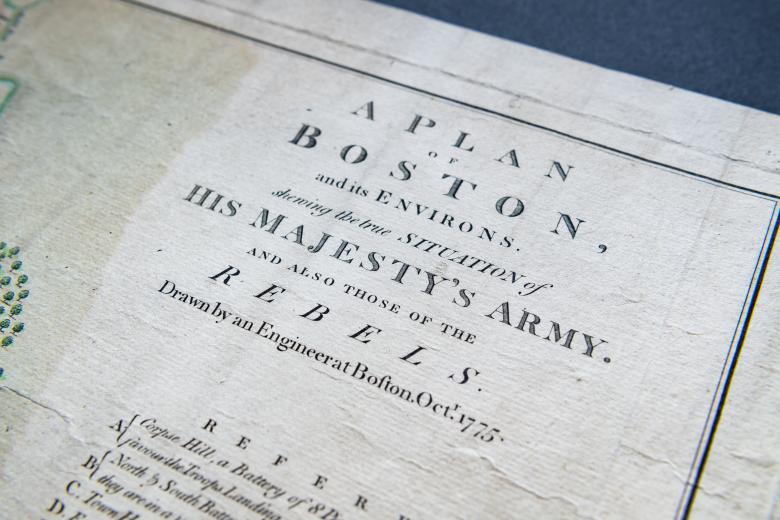
A plan of Boston, and its environs,...
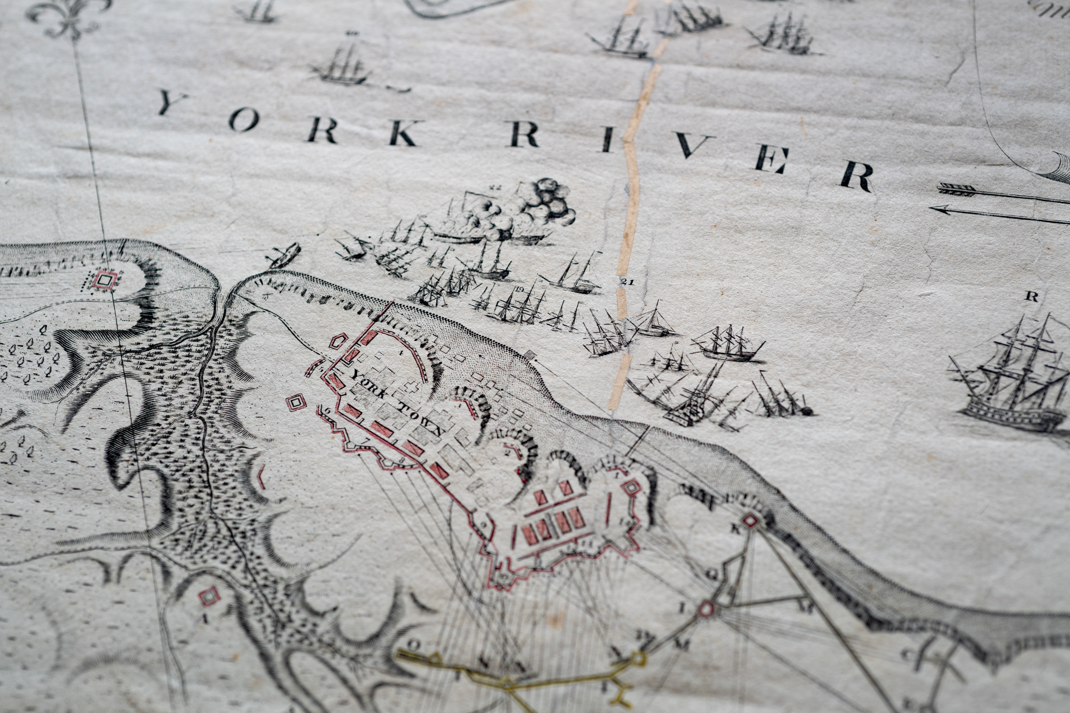
One of the JCB’s many maps and battle plans of the American Revolution, this English map, drawn in October 1775 and published in 1776, depicts the site of the successful 11-month siege of Boston by the Continental Army under the command of George Washington. This remarkable map also lays the stage for one of the pivotal battles of the critical opening phase of the Revolution: the Battle of Bunker Hill, in June 1775. The cartographer was Richard Williams, a young officer in the Royal Welch Fusiliers, and in the map, he carefully drew the deployment of both the British Army and the troops of the ‘Rebels’ in and around Boston, the location of batteries, and the encircling fortifications erected by the Continental Army. Williams died upon his return to England in 1776 before the map was published.
