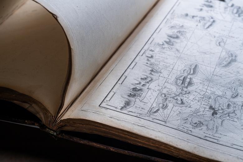
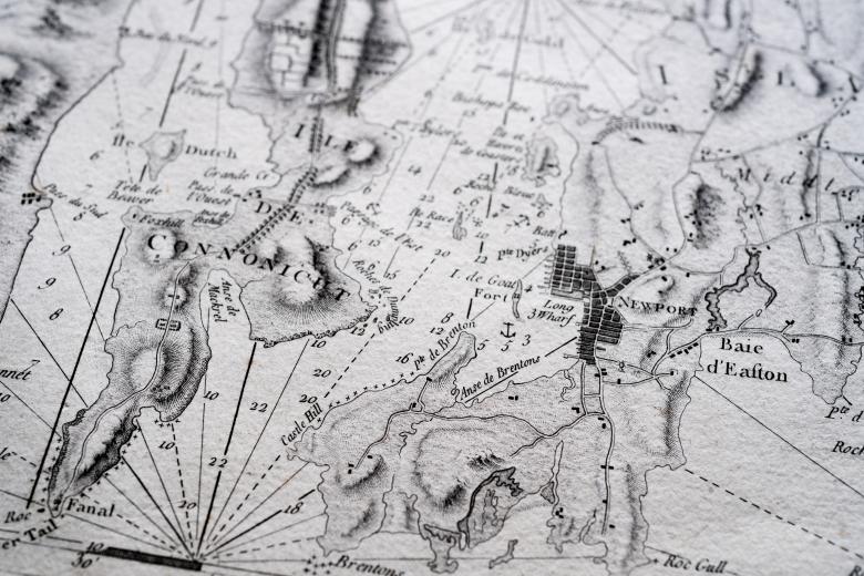

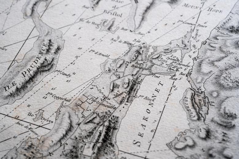
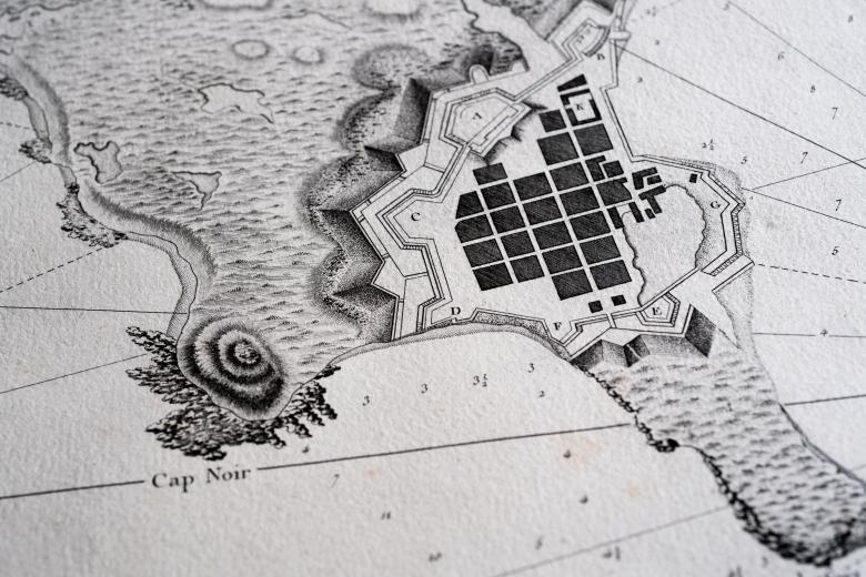
Neptune Americo-Septentrional contenant les côtes, les et bancs, les baies, ports, et mouillages,...
In 1778, the support that the French were giving American rebels in their revolutionary war became official, and the French navy sailed to Rhode Island the same year. At the time, the French were using a variety of outdated nautical charts, many of them produced in England. To remedy this problem and to assist the French navy in their American campaigns, Buache de la Neuville, an agent of the French Depôt des Cartes et Plans de la Marine, published this atlas with the support of Antoine Sartine, the modernizing Minister of the Marine. It is made of 26 engraved charts, based on existing English charts, of the eastern seaboard from Gulf of the Saint Lawrence River to Florida and west to Louisiana. Although officially issued by the Ministry of the Marine, the charts were also individually available for sale to the public.


