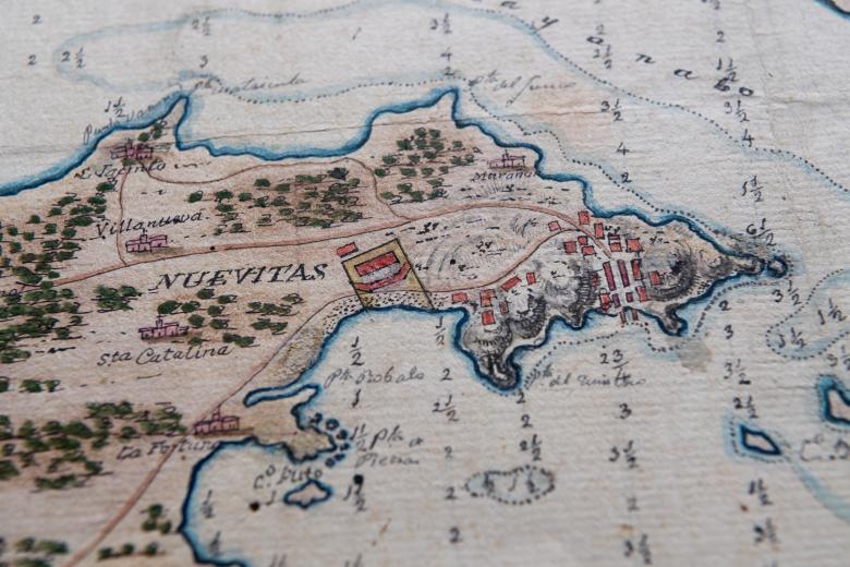
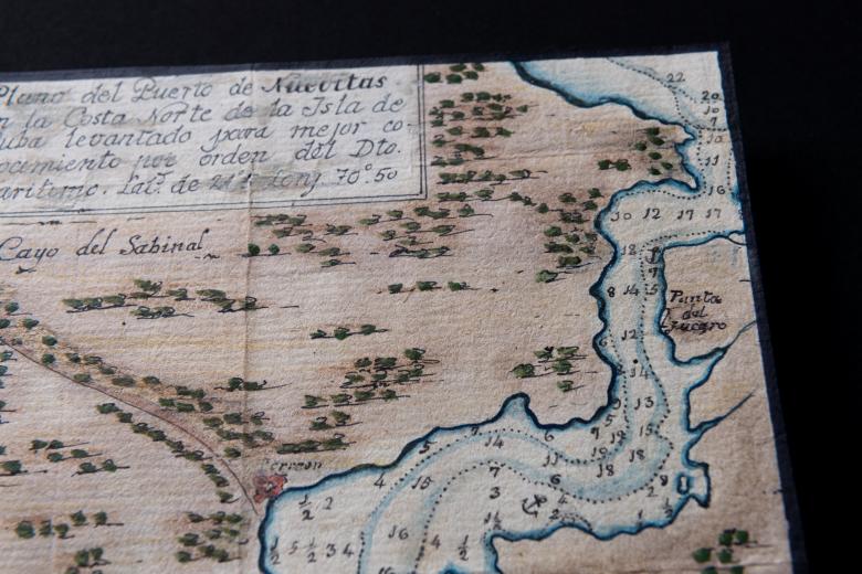
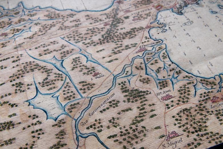
Plano del Puerto de Nuevitas en la Costa Norte de la Isla de Cuba levantado para mejor conocimiento por orden del Dto. Maritimo
This beautiful hand-colored manuscript map depicts Nuevitas on the north coast of Cuba in the late 1820s, chronologically the latest in the JCB’s collection of maps of Cuba that begins almost three centuries earlier, in the mid-1560s. The map presents a detailed view of the Bahia de Nuevitas, including soundings of the bay as well as the location of inland waterways, topography, roads and towns. Because of Nuevitas’ strategic location and large protected bay, it was able to take advantage of Cuba’s move into the global sugar trade in the wake of the Haitian Revolution by becoming a major shipping port. This map was most likely used, in the years leading up to the consolidation of the town at its current site in 1828, by colonial administrators focused on the urban, regional and port planning for the bay as the economic potential of the region solidified.


