Prise de l'isle de la Grenade...
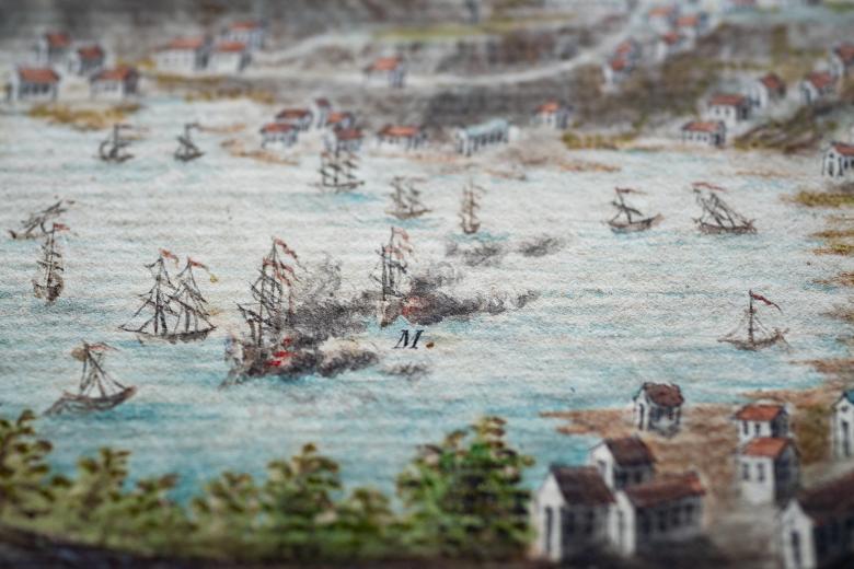
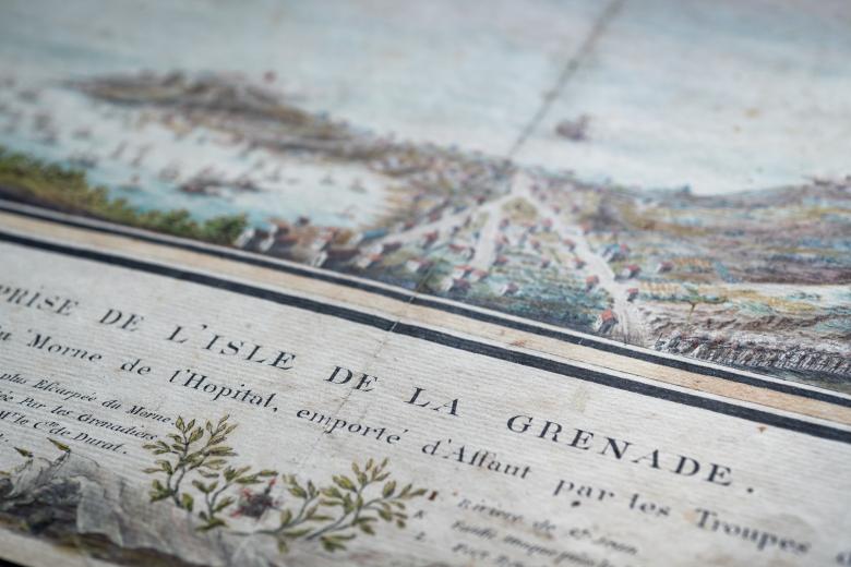
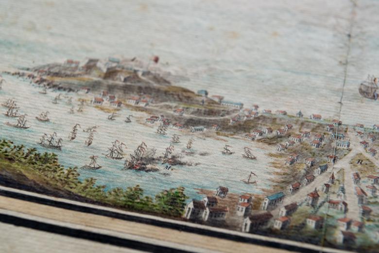
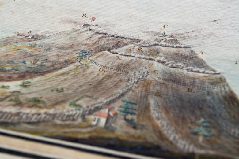
The JCB’s extensive collection of American Revolution maps, plans and prints includes a beautiful hand-colored manuscript rendering of the French capture of Grenada in 1779. The Anglo-French battles in the Caribbean exemplify the global and imperial dimensions of the Revolutionary War. They involved two European rivals fighting far from the battle grounds of what would be the United States. Instead, these battles were fought from and for a series of highly valued, and long disputed, island colonies: Martinique, Grenada, Barbados, St. Vincent and St. Lucia. This detailed military plan shows Admiral d’Estaing’s successful assault on Grenada, and illustrates a naval battle taking place at the same time as long lines of troops advance on the central hill: the ‘Morne de l’Hopital’. The JCB copy is one of only two such drawings, the other (uncolored) manuscript is found in the Bibliothèque Nationale de France.
