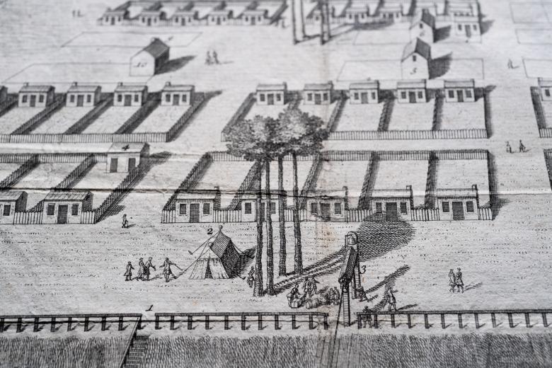
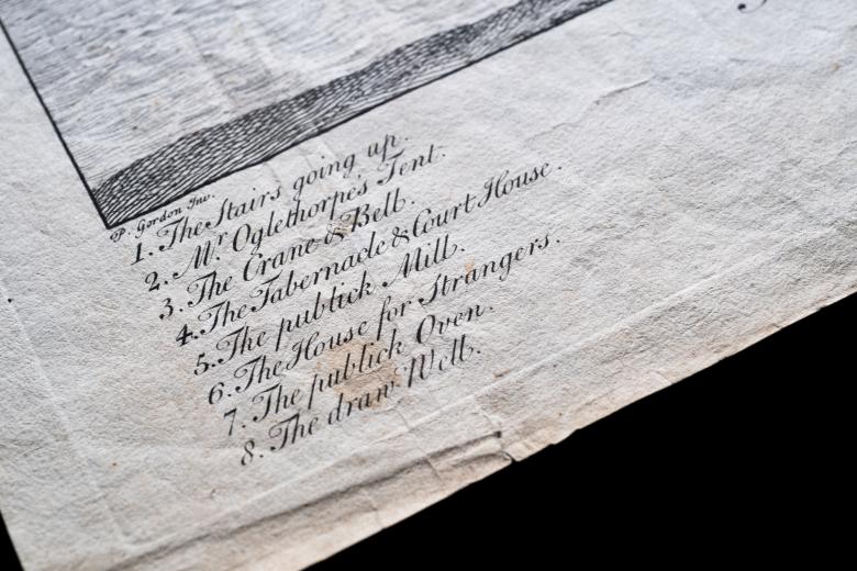
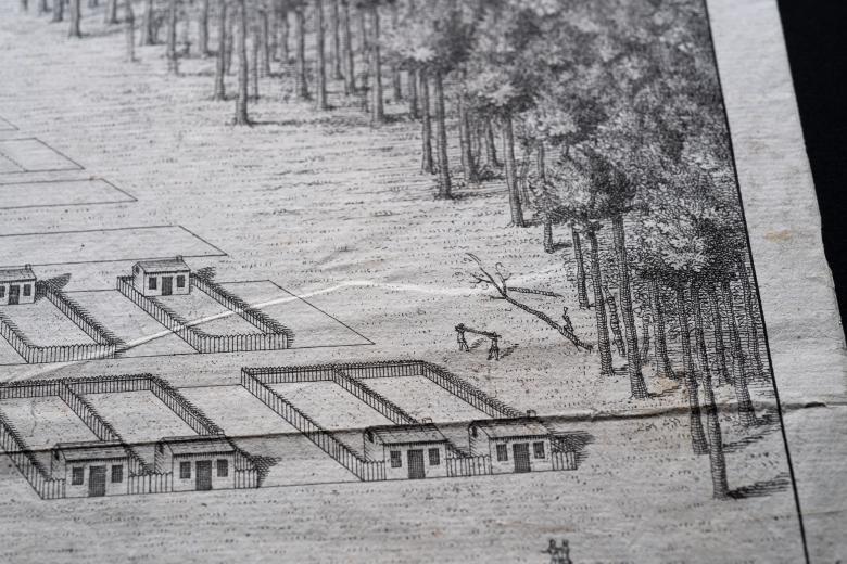
A View of Savanah as it stood the 29th of March. 1734
This first printed view of Savannah, Georgia was also the first print to be purchased by John Carter Brown, in 1868. Its acquisition lay the ground for the growth of the JCB’s extensive collection of printed maps and plans of colonial urban centers, a collection that spans the Americas. The plan is a birds-eye view of the new city grid’s layout, partially filled in with houses being actively constructed, surrounded by the forest from which the city is being carved. In the foreground is an image of the tent of James Oglethorpe, who founded the colony of Georgia and selected the site of Savannah, from which he can oversee and direct the work of construction and hauling cargo, via a crane, from arriving vessels.