Skip to main content
Main navigation
News
Events
Exhibitions
1846: Inventing Americana at the John Carter Brown Library
Simon Bolivar, The Libertador
Upcoming Events
Past Events
Research
Using the Library
Instructional Support Guide
Requesting Materials
Resources and Publications
Image Permissions & Requests
Catalog
Fellowships
Opportunities
Fellows Directory
Life in Residence
Remote Fellowship Program
Visit
Visiting the JCB
Requesting Materials in the Reading Room
Collection Highlights
Places
Languages
Themes
Periods
Genres
About
Mission
Initiatives
History
People
Leadership
Staff Directory
Toggle Search
Search
Search
Search Menu
Online Catalogue (BruKnow)
Language
French
Share
Facebook
Twitter
Email
Featured Items
Atlas de toutes les Parties Connues du Globe Terrestre
Guillaume Thomas Francois Raynal
circa 1780
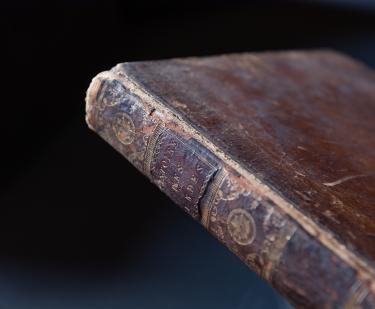
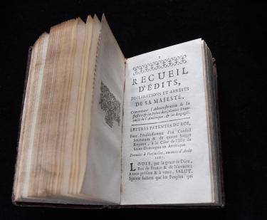
Code Noir: ou Recueil d’edits, déclarations et arrets concernant les Esclaves Nègres de l’Amérique
1743
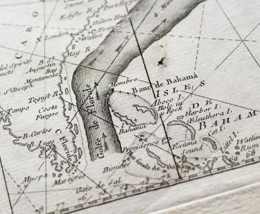
The Gulf Stream flowing northwards…
Benjamin Franklin
1778
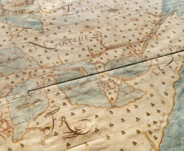
Nouvelle Découverte de plusieurs Nations Dans la Nouvelle France en l'année 1673 et 1674
Louis Joliet
1673-1674
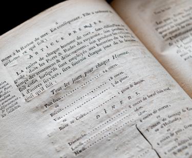
Composition de la ration des gens de mer
French Admiralty
1785
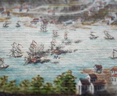
Prise de l'isle de la Grenade...
Roger fils
1782
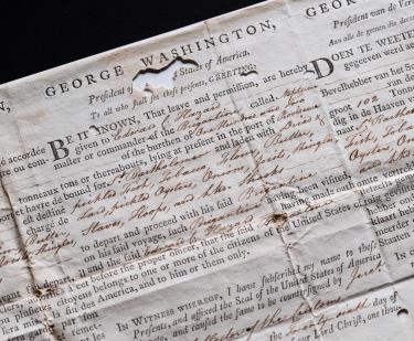
Sea letter, Brigantine Neptune, July 26, 1793
1793
Lettre aux Espagnols-Américains
Juan Pablo Vizcardo y Guzman
1799
Show More
Related
Fellow's Talk
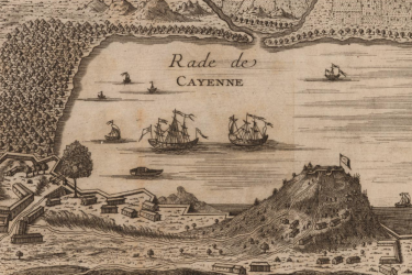
“Vast Forests of Clove”: Spice Production in French Guiana, 1790-1848
Wednesday, September 15 at 1:00pm
Collections Up Close
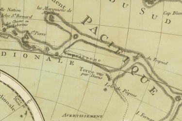
Philippe Buache, “Carte Physique de la Grande Mer ci-devant nommée Mer du Sud ou Pacifique…” from Cartes et tables de la géographie physique ou naturelle: présentées au roi le 15 mai 1757, Paris: 1770
August 30, 2021
Collections Up Close
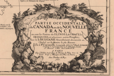
Vincenzo Coronelli, “Partie occidentale du Canada ou de la Nouvelle France…” Paris : Chez J.B. Nolin, 1688
June 30, 2021
Guided show-and-tell
Autour du Monde: A Guided Tour
Tuesday, November 15 at 3:00pm
In House
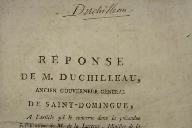
"Réponse de M. Duchilleau..."
February 15, 2019
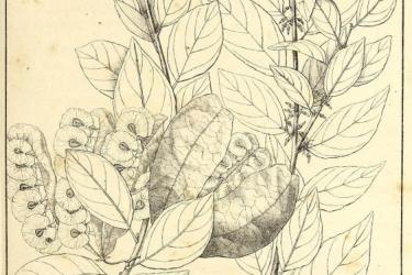
Plantes Usuelles des Brasiliens (Paris, 1824)
November 1, 2017
Conserving La cosmographie vniuerselle d'André Theuet
May 1, 2017
See Also
Greek
Slavery and the Slave Trade