Skip to main content
Main navigation
News
Events
Exhibitions
1846: Inventing Americana at the John Carter Brown Library
Simon Bolivar, The Libertador
Upcoming Events
Past Events
Research
Using the Library
Instructional Support Guide
Requesting Materials
Resources and Publications
Image Permissions & Requests
Catalog
Fellowships
Opportunities
Fellows Directory
Life in Residence
Remote Fellowship Program
Visit
Visiting the JCB
Requesting Materials in the Reading Room
Collection Highlights
Places
Languages
Themes
Periods
Genres
About
Mission
Initiatives
History
People
Leadership
Staff Directory
Toggle Search
Search
Search
Search Menu
Online Catalogue (BruKnow)
Genre
Map
Share
Facebook
Twitter
Email
Featured Items
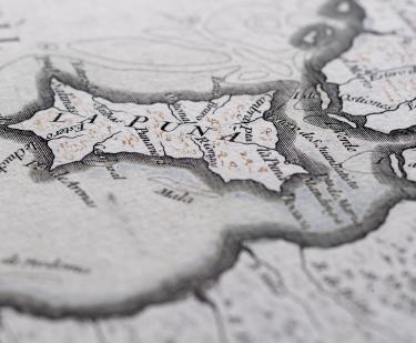
Carta de la Provincia de Quito y sus Adjacentes
Jean Baptiste Bourguignon d'Anville
1750
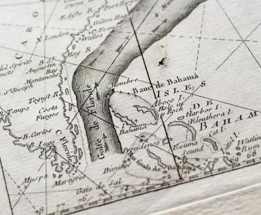
The Gulf Stream flowing northwards…
Benjamin Franklin
1778
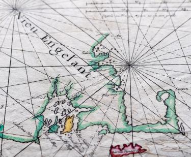
Pas caarte van Nieu Nederlandt
Arnold Colom
1656
Americae et Proximar Regionum Orae Descriptio
Giovanni Battista Mazza
1589
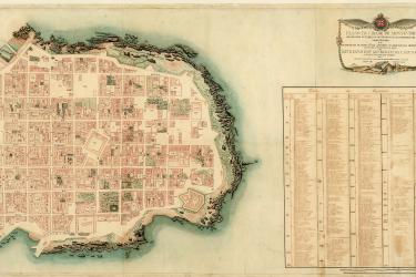
El presente mapa demuestra la cituacion, plano, y repartimiento, que en la actualidad tienen los arroyos, que bajan de Sierra Nevada…
Felipe de Zúñiga y Ontiveros
1770
A discription of the coleny of Surranam in Guiana drawne in the year 1667
1667
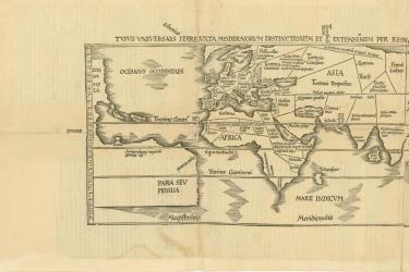
Orbis Typus Vniversalis Iuxta Hydrographorum Traditionem
1513
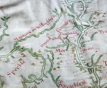
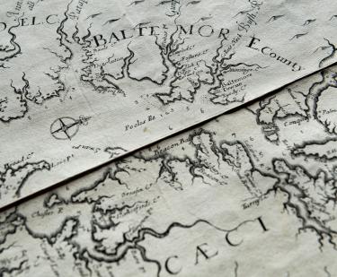
Virginia and Maryland As it is planted and Inhabited this present Year 1670
Augustine Herrman
1673
Show More
Related
Our Fellows
John F. López, NEH Fellow
March 8, 2018
Ptolemy's Exquisite Geographia
February 6, 2018
Elizabeth Heath Creates Digital Map to Explore Colonial France
May 1, 2017
Teaching through the JCB's collection
April 5, 2017
Collections Up Close
Montevideo: A City Between Empires
Fabrício Prado
September 1, 2008
Collections Up Close
Joan Apple and the Naming of America
July 5, 2008
See Also
Recent Acquisition
Women's History